Login

Forgotten password?

Cookies have to be accepted!
Your browser's cookie functionality is disabled. Please enable this functionality.

Not a member yet?

Register now
Login

Available for registred users only

Log in to use this feature.

Forgotten password?

Cookies have to be accepted!
Your browser's cookie functionality is disabled. Please enable this functionality.

Not a member yet?

Register now
Filter
Categories
Advanced filters
  • Distance (km)
  • Height
Save filters Reset filter

TrackRank

QRCode

Technical data

Distance25,6 km Height502 m Way down559 m Duration1 day 0 h Date12.05.2013
Scores Author Landscape Fun factor Fitness Technique

Statistics

1195 Views Scores 30 Downloads Average
Rate
  • Track data sheet
  • Directions
  • Downloads

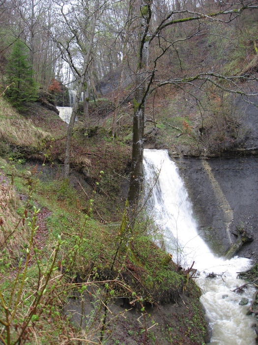
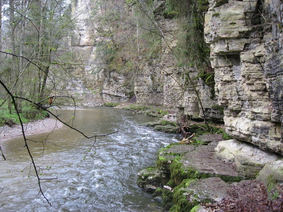
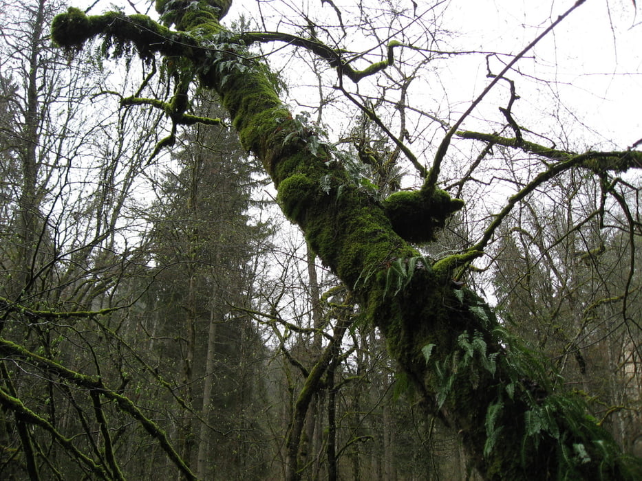
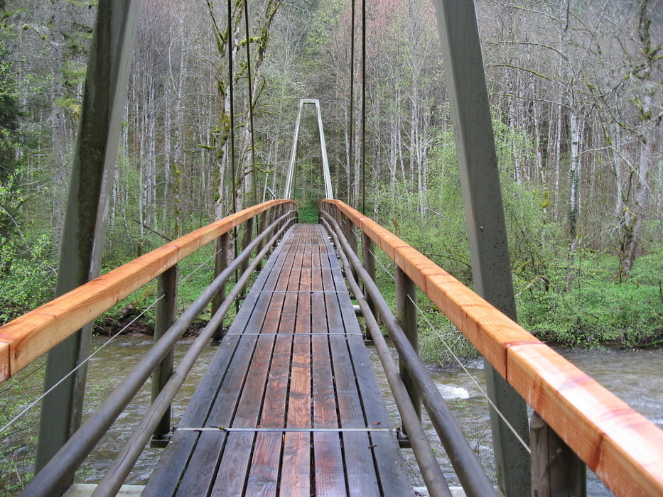
Wanderung von Blumberg aus zu den Schleifenbachwasserfällen,

in der Wutachschlucht dann bis zum Kümmelesteg und zurück nach Blumberg

über den gleichen Weg.

Tour gallery

Tour map and elevation profile

  • Open Street Map
  • Google
Minimum height 531 m Maximum height 752 m Detailed view

More about the tour author

astempfle
Member since 2012

Send private message

Comments

GPS tracks

Trackpoints
  • GPX / Garmin Map Source (gpx) download
  • TCX / Garmin Training Center® (tcx) download
  • CRS / Garmin Training Center® (crs) download
  • Google Earth (kml) download
  • G7ToWin (g7t) download
  • TTQV (trk) download
  • Overlay (ovl) download
  • Fugawi (txt) download
  • Kompass (DAV) Track (tk) download
  • Track data sheet (pdf) download
  • Original file of the author (gpx) download

More about the tour author

astempfle
Member since 2012

Send private message
Share track
Add to my favorites
Remove from my favorites
Edit tags
My score
Rate
Track: Schleifenbachwasserfälle in Blumberg
Type: Hiking
Distance: 25,6 km
Evaluated on:
Duration:
Day(s)
Hour(s)
Minute(s)
Score: Landscape Fun factor Fitness Technique