


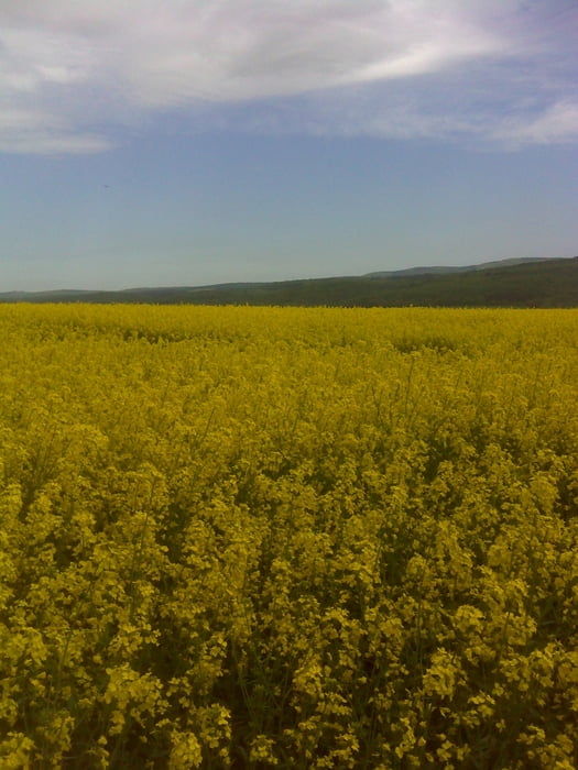
Die Rapsblütenrunde orientiert sich an Wegen entlang von Rapsfeldern, die im Mai eine traumhafte Landschaft ergeben.
Die Wandertour ist einfach, startet in Oberrod am Parkplatz Gemeindehaus (Kettungsstraße)und führt rund um Heftrich.
Man hat einen Traumhaften Blick auf die Höhen das Taunus (Feldberg, Glaskopf, Butznickel)
Tour gallery
Tour map and elevation profile
Minimum height 307 m
Maximum height 437 m
More about the tour author

|
Oxybike |
Comments

Von Frankfurt Richtung Wiesbaden A66 durch Königstein auf der B8 bis ca. 3 km nach Glahütten der Abzweig nach links nach Nieder-Oberrod kommt.
Von der A3 Ausfahrt Idstein Richtung Waldems dann weiter auf der B8 ca. 4 km nach Waldems rechts nach Nierderoberrod.
Naviadresse: Nieder-Oberrod - Kettungsstraße
GPS tracks
Trackpoints-
GPX / Garmin Map Source (gpx) download
-
TCX / Garmin Training Center® (tcx) download
-
CRS / Garmin Training Center® (crs) download
-
Google Earth (kml) download
-
G7ToWin (g7t) download
-
TTQV (trk) download
-
Overlay (ovl) download
-
Fugawi (txt) download
-
Kompass (DAV) Track (tk) download
-
Track data sheet (pdf) download
-
Original file of the author (gpx) download
More about the tour author
|
|
Oxybike |
Add to my favorites
Remove from my favorites
Edit tags
Open track
My score
Rate