


- Rundkurs im Uhrzeigersinn. Mix aus Forstwegen/Teerstrassen.
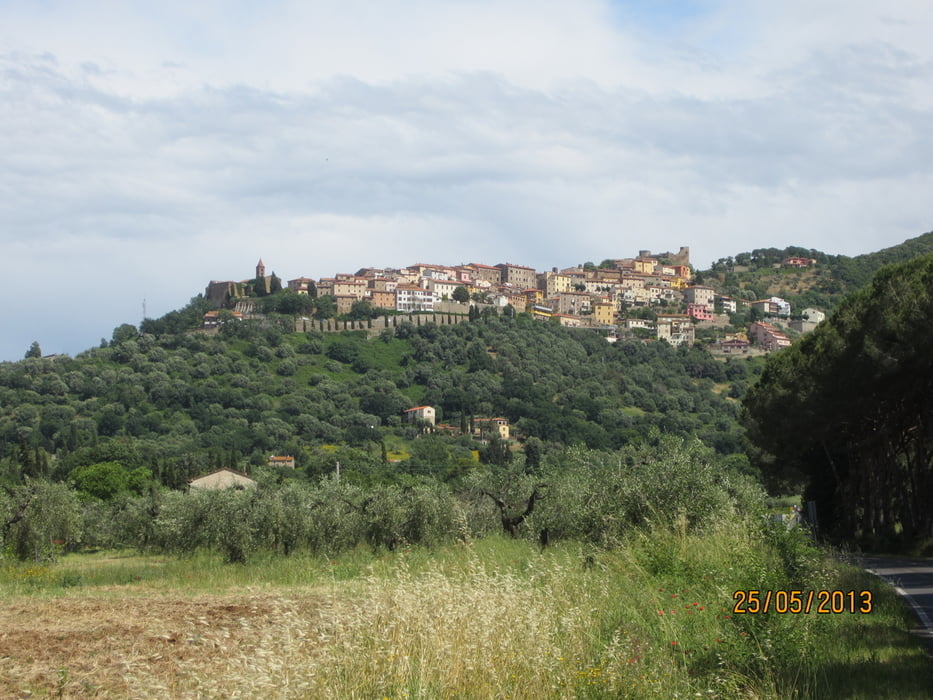
- Start: Am Fusse der mittelalterlichen Stadt Scarlino(Camping Il Fontino)
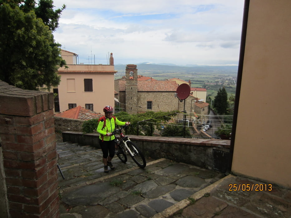
- Bis Scarlino 3 Km Anstieg ruhige Teerstrasse
- Von Km 3 bis Km 5 Forststrasse durch ausgedehnte Kastanienhaine (einige bissige Anstiege)
- Von Km 5 bis Km 13 Abfahrt auf Forststrasse
- Von Km 13 bis Km 17,4 Teerstrasse ruhig
- Km 17,4 Lokal Merenderia "Da Paguro" (gute einheimische Imbisse)
- Km 17,4 bis Km 24 Teerstrasse reger Verkehr
- Km 24 bis Km 28,8 Teerstrasse mässiger Verkehr.
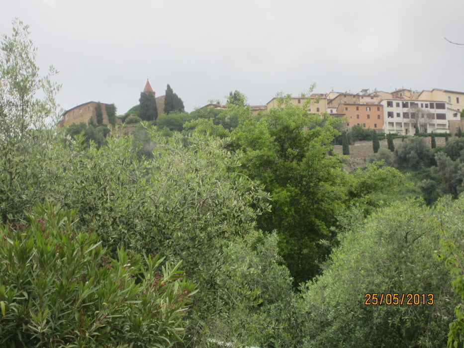
- Von Scarlino Blick auf die Bucht um Follonica
Tour gallery

Tour map and elevation profile
Minimum height 7 m
Maximum height 441 m
More about the tour author
|
|
MargesinFriedrich |
Comments

GPS tracks
Trackpoints-
GPX / Garmin Map Source (gpx) download
-
TCX / Garmin Training Center® (tcx) download
-
CRS / Garmin Training Center® (crs) download
-
Google Earth (kml) download
-
G7ToWin (g7t) download
-
TTQV (trk) download
-
Overlay (ovl) download
-
Fugawi (txt) download
-
Kompass (DAV) Track (tk) download
-
Track data sheet (pdf) download
-
Original file of the author (gpx) download
More about the tour author
|
|
MargesinFriedrich |
Add to my favorites
Remove from my favorites
Edit tags
Open track
My score
Rate