Login

Forgotten password?

Cookies have to be accepted!
Your browser's cookie functionality is disabled. Please enable this functionality.

Not a member yet?

Register now
Login

Available for registred users only

Log in to use this feature.

Forgotten password?

Cookies have to be accepted!
Your browser's cookie functionality is disabled. Please enable this functionality.

Not a member yet?

Register now
Filter
Categories
Advanced filters
  • Distance (km)
  • Height
Save filters Reset filter

TrackRank

QRCode

Technical data

Distance19,9 km Height250 m Way down237 m Duration05:00 h:m Date26.05.2013
Scores Author Landscape Fun factor Fitness Technique

Statistics

427 Views Scores 33 Downloads Average
Rate
  • Track data sheet
  • Directions
  • Downloads

Wandertour vom Wanderparkplatz Weiler zur Sontheimer Höhle und zurück, ca 20km

Der Abstieg vom Sportplatz über die Betteltelle ist etwas steil.

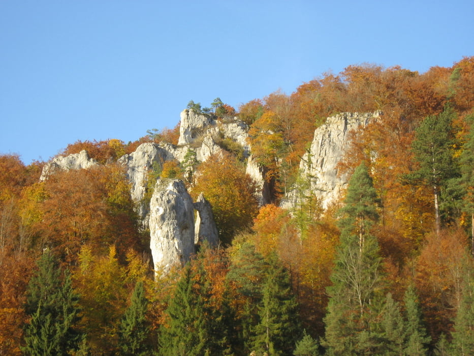
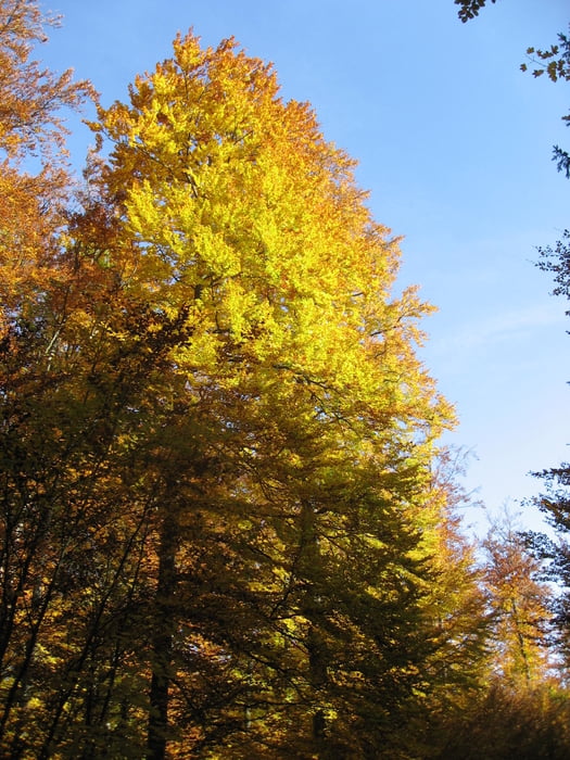
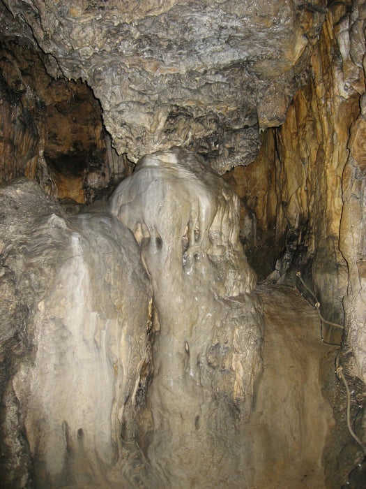
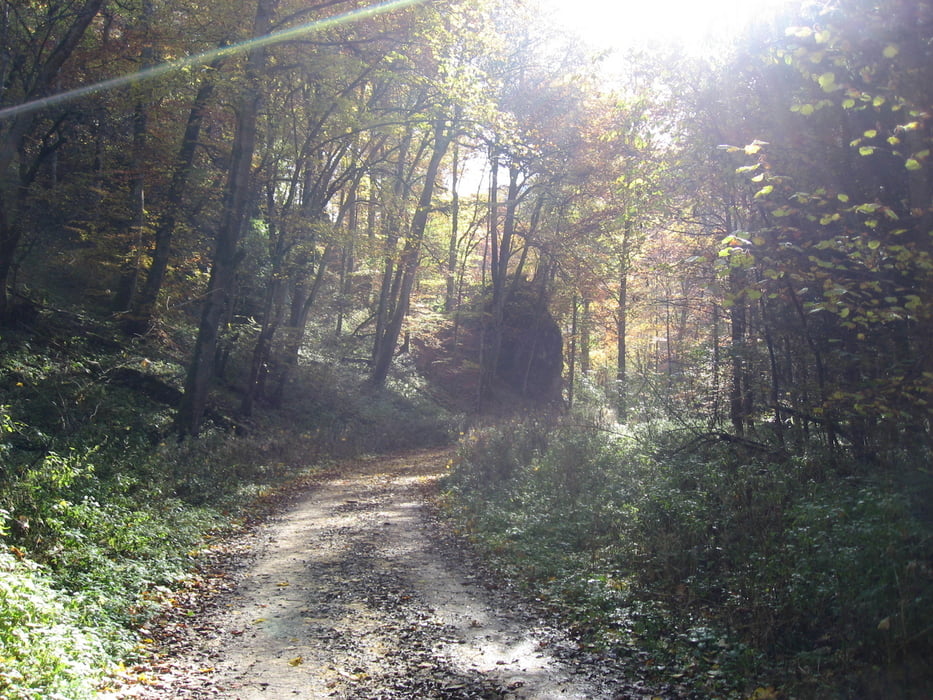
Landschaftlich schöne Tour, eine Besichtigung der Sontheimer Höhle sehenswert.

Further information at

http://www.sontheimer-hoehle.de/

Tour gallery

Tour map and elevation profile

  • Open Street Map
  • Google
Minimum height 530 m Maximum height 749 m Detailed view

More about the tour author

astempfle
Member since 2012

Send private message

Comments

GPS tracks

Trackpoints
  • GPX / Garmin Map Source (gpx) download
  • TCX / Garmin Training Center® (tcx) download
  • CRS / Garmin Training Center® (crs) download
  • Google Earth (kml) download
  • G7ToWin (g7t) download
  • TTQV (trk) download
  • Overlay (ovl) download
  • Fugawi (txt) download
  • Kompass (DAV) Track (tk) download
  • Track data sheet (pdf) download
  • Original file of the author (gpx) download

More about the tour author

astempfle
Member since 2012

Send private message
Share track
Add to my favorites
Remove from my favorites
Edit tags
My score
Rate
Track: Sontheimer Höhle
Type: Hiking
Distance: 19,9 km
Evaluated on:
Duration:
Day(s)
Hour(s)
Minute(s)
Score: Landscape Fun factor Fitness Technique