


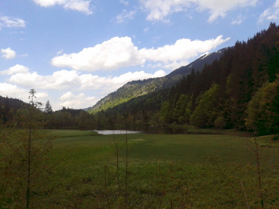
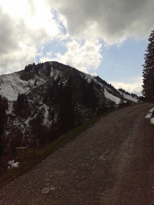
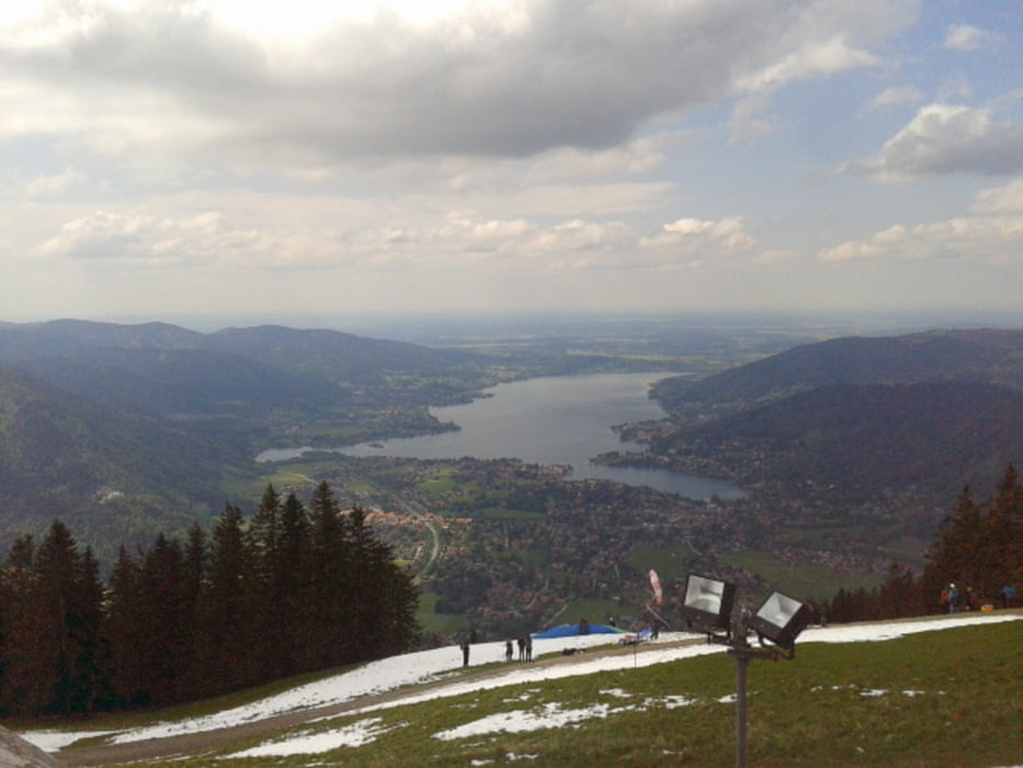
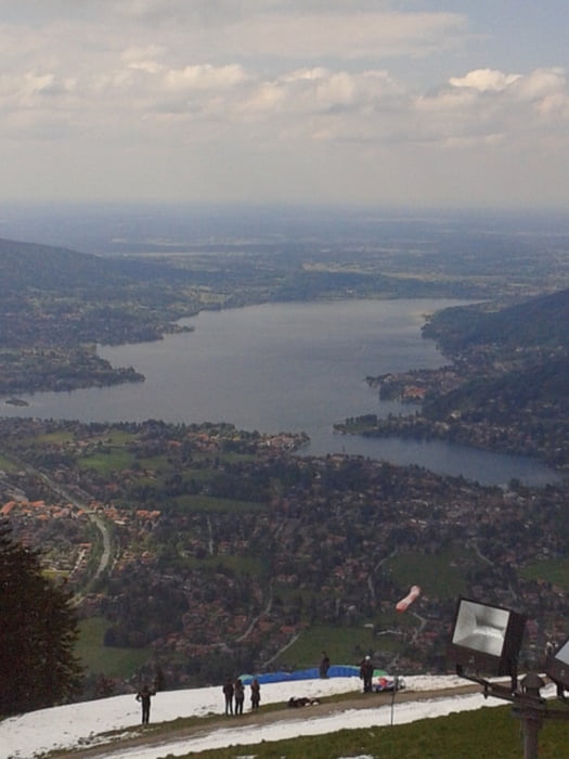
Technisch nicht so anspruchsvolle Tour, jedoch mit dem Anstieg auf den Wallberg recht anstrengend.
Start am Parkplatz bei der Mautstadion in Enterrottach, der Mautstraße folgend rauf Richtung Talstadion Suttenbahn und Moni-Alm, weiter zum schönen Suttensee und den Suttensee Rundweg folgen. Wieder zurück bis zur Suttenbahn und dann steil bergauf (auf Asphalt) bis zum Wallberg-Setzberg-Sattel. Die letzten 100 hm auf Schotter rauf zur Wallberg-Bergstadion/Kapelle.
Tour gallery
Tour map and elevation profile
Minimum height 849 m
Maximum height 1668 m
More about the tour author

|
zozoon |
Comments

GPS tracks
Trackpoints-
GPX / Garmin Map Source (gpx) download
-
TCX / Garmin Training Center® (tcx) download
-
CRS / Garmin Training Center® (crs) download
-
Google Earth (kml) download
-
G7ToWin (g7t) download
-
TTQV (trk) download
-
Overlay (ovl) download
-
Fugawi (txt) download
-
Kompass (DAV) Track (tk) download
-
Track data sheet (pdf) download
-
Original file of the author (gpx) download
More about the tour author
|
|
zozoon |
Add to my favorites
Remove from my favorites
Edit tags
Open track
My score
Rate