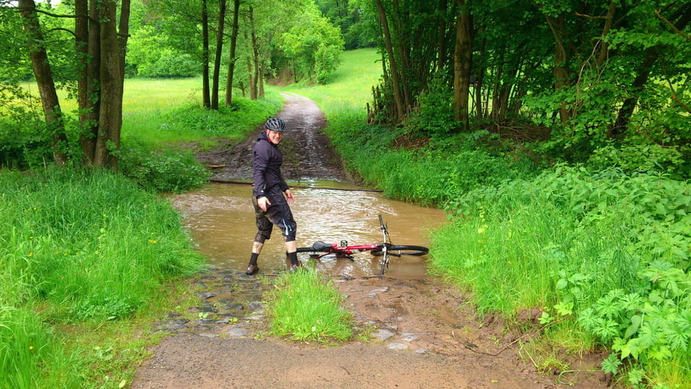
Schöne Tour über Hozberg ,Basaltsee und Lange Rhön zur Thüringer Hütte und durch das Rhönvorland zurück nach Bischofsheim.Auf der tour gibt es Einkehrmöglichkeiten am Basaltsee und Die Thüringer Hütte.Nach Regen kann der Boden sehr matschig sein
Tour gallery
Tour map and elevation profile
Minimum height 339 m
Maximum height 845 m
Comments

Start ist Der Zentralparkplatz in Bischofsheim
GPS tracks
Trackpoints-
GPX / Garmin Map Source (gpx) download
-
TCX / Garmin Training Center® (tcx) download
-
CRS / Garmin Training Center® (crs) download
-
Google Earth (kml) download
-
G7ToWin (g7t) download
-
TTQV (trk) download
-
Overlay (ovl) download
-
Fugawi (txt) download
-
Kompass (DAV) Track (tk) download
-
Track data sheet (pdf) download
-
Original file of the author (gpx) download
Add to my favorites
Remove from my favorites
Edit tags
Open track
My score
Rate

