


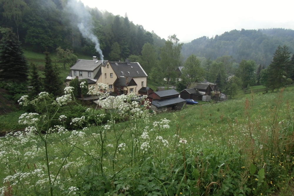
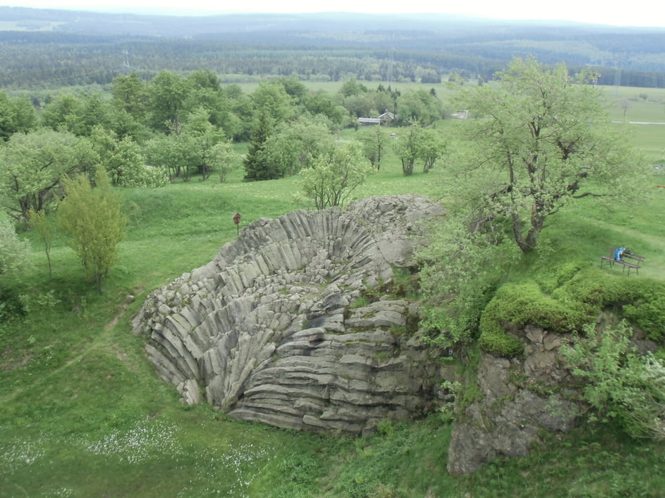
Der erste Abschnitt des Kammweges Erzgebirge/Vogtland wurde an einem verlängertem Wochenende begangen. Der Originalweg diente als Vorlage, von der auch abgewichen wurde, um an manchen Stellen etwas Weg zu sparen oder um die Übernachtung günstig zu gestalten. Die Tour hatte keine großen Höhenunterschiede und eignet sich gut für eine Wandertour in Familie. Die Grenzregion ist landschaftlich reizvoll durch die geringe Besiedlung und die ursprüngliche Natur. Im Schwarzwassertal wurde abends noch eine Zusatzrunde erwandert.
Further information at
http://a-b-s.bplaced.net/Tour gallery


Tour map and elevation profile
Minimum height 469 m
Maximum height 901 m
More about the tour author

|
AndreasBeckerSalzwed |
Comments

Anfahrt nach Satzung mit dem PKW, von dort per Taxi zum Startort Geising.
GPS tracks
Trackpoints-
GPX / Garmin Map Source (gpx) download
-
TCX / Garmin Training Center® (tcx) download
-
CRS / Garmin Training Center® (crs) download
-
Google Earth (kml) download
-
G7ToWin (g7t) download
-
TTQV (trk) download
-
Overlay (ovl) download
-
Fugawi (txt) download
-
Kompass (DAV) Track (tk) download
-
Track data sheet (pdf) download
-
Original file of the author (gpx) download
More about the tour author
|
|
AndreasBeckerSalzwed |
Add to my favorites
Remove from my favorites
Edit tags
Open track
My score
Rate