


Vor dem Hotel St. Petrus begann ich meine Abendrunde. Durch die Fußgängerzone nach Süden zum Hauptbahnhof hat man viel Abwechslung. Die Ladenzeilen sind voller Leben.
Auf der Südseite des Bahnhofes wird es dann deutlich schlichter. Bald ist der Wissenschaftspark erreicht. Durch ihn und einen Grünzug wanderte ich nach Süden. Ein Abstecher zu REWE stockte meinen Getränkehaushalt auf. Sehr nettes Personal.
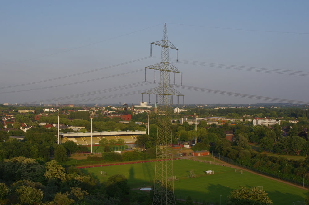
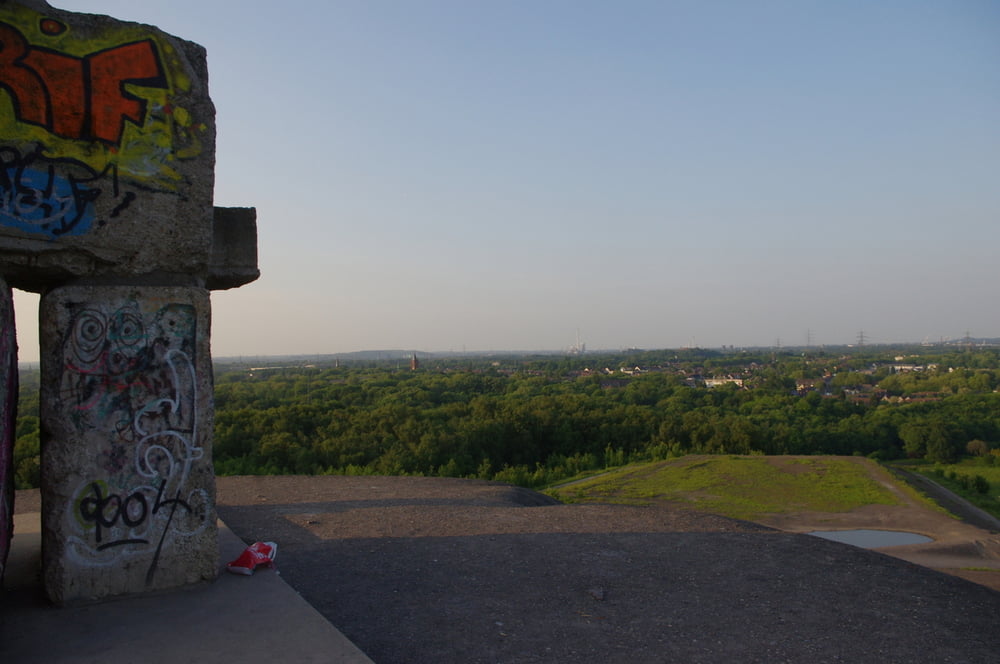
Auf dem Rückweg traf ich sogar Einheimische die mir die Rheinelbe Halde empfohlen haben. Super Tipp. Die Aussicht war klasse und das Wetter wunderbar.
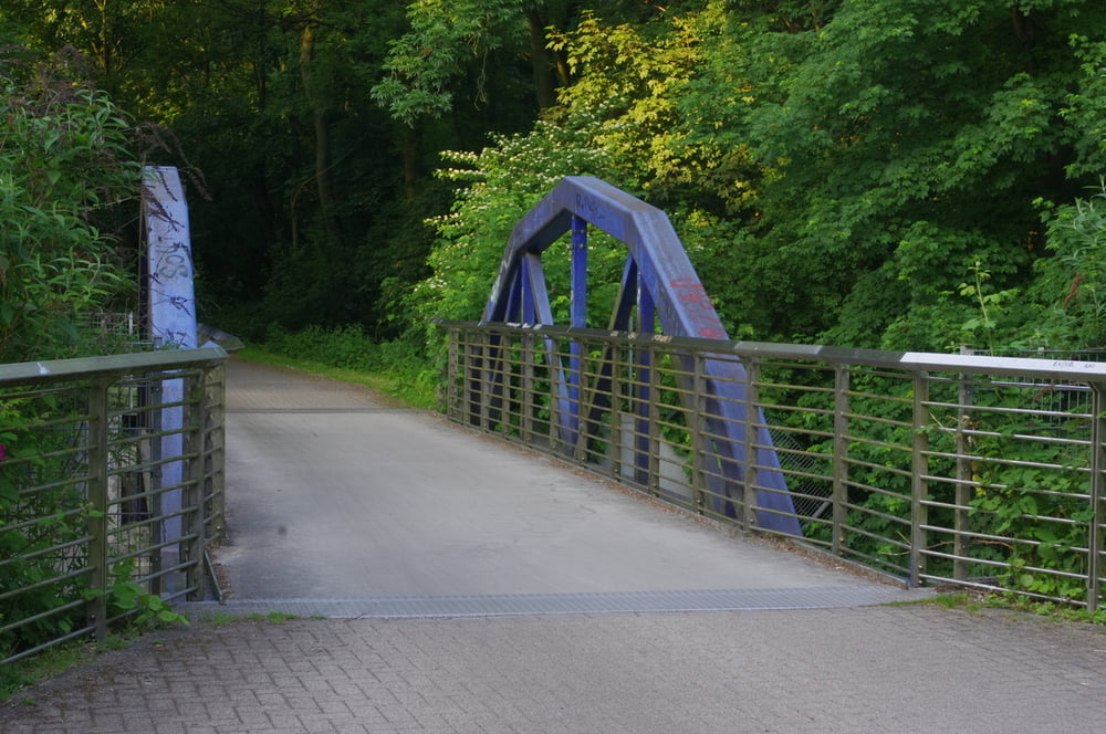
Durch den Skulpurenpark erreichte ich bekanntes Gelände und machte mich auf den Rückweg.
Further information at
https://de.wikipedia.org/wiki/GelsenkirchenTour gallery
Tour map and elevation profile
Minimum height 47 m
Maximum height 123 m
More about the tour author
|
|
Pheinz |
Comments

Das Hotel St. Petrus war Ausgangspunkt aber ist nicht unbedingt einen Besuch wert.
GPS tracks
Trackpoints-
GPX / Garmin Map Source (gpx) download
-
TCX / Garmin Training Center® (tcx) download
-
CRS / Garmin Training Center® (crs) download
-
Google Earth (kml) download
-
G7ToWin (g7t) download
-
TTQV (trk) download
-
Overlay (ovl) download
-
Fugawi (txt) download
-
Kompass (DAV) Track (tk) download
-
Track data sheet (pdf) download
-
Original file of the author (gpx) download
More about the tour author
|
|
Pheinz |
Add to my favorites
Remove from my favorites
Edit tags
Open track
My score
Rate