


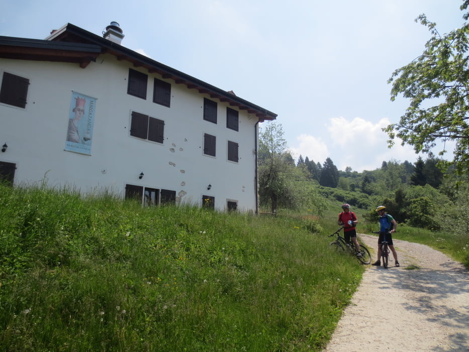
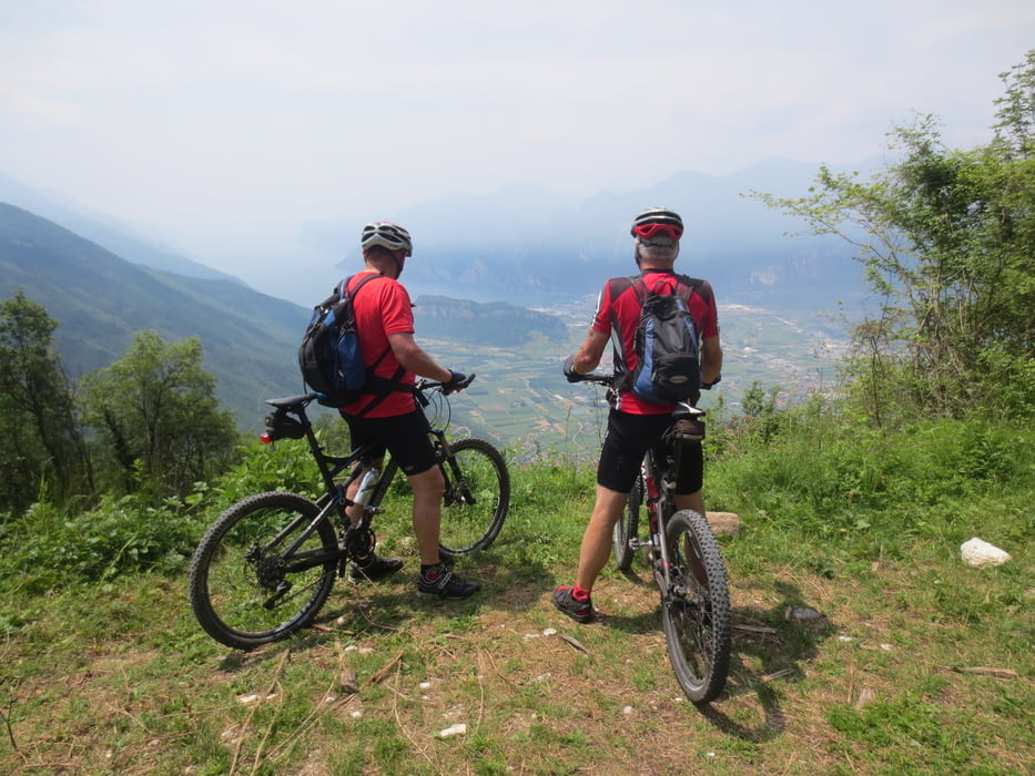
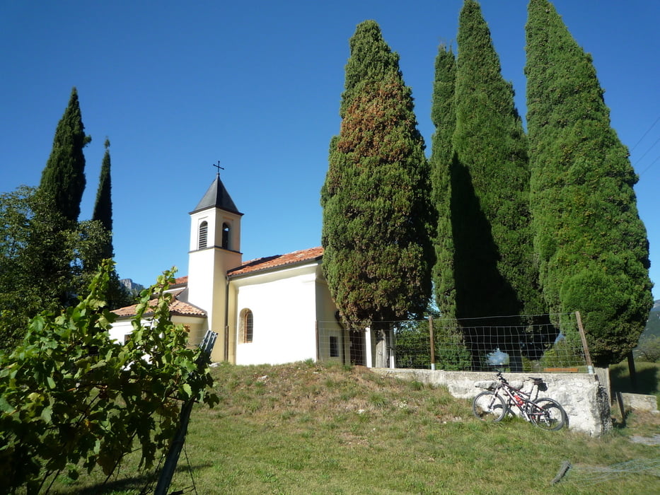
Wir fahren von Arco aus die Monte Velo Straße hoch bis Salve Regina. Nun geht es links ab auf einer steilen Betonrampe bis S.Giacomo. Leider waren keine Mönche in der Einsiedelei. Hier hat man eine schöne Aussicht auf den Gardasee und das Sarcatal.Nun wieder auf gleicher Strecke zurück und weiter bergauf bis S. Barbara. Hier geht es links bergauf bis zum Abzweig zur Malga Zanga. Nun fahren wir abwärts auf einem Forstweg bis zur Alm. Leider war die Hütte geschlossen und wir konnten unseren Hunger und Durst nicht stillen.Weiter geht es auf einer tollen Abfahrt bis Braila. Einige kurze Anstiege und herrliche Aussichtspunkte gehören dazu.Nun fahren wir auf Teer weiter bis es rechts auf Schotter durch alte Kastanienwälder zur La Casina geht Die Gemütlichkeit und das Essen sind hier sehr gut. Nach langer Rast fahren wir über Drena und Dro wieder nach Arco.
Tour gallery

Tour map and elevation profile
Minimum height 73 m
Maximum height 1214 m
More about the tour author
|
|
baumgarten |
Comments

GPS tracks
Trackpoints-
GPX / Garmin Map Source (gpx) download
-
TCX / Garmin Training Center® (tcx) download
-
CRS / Garmin Training Center® (crs) download
-
Google Earth (kml) download
-
G7ToWin (g7t) download
-
TTQV (trk) download
-
Overlay (ovl) download
-
Fugawi (txt) download
-
Kompass (DAV) Track (tk) download
-
Track data sheet (pdf) download
-
Original file of the author (gpx) download
More about the tour author
|
|
baumgarten |
Add to my favorites
Remove from my favorites
Edit tags
Open track
My score
Rate