


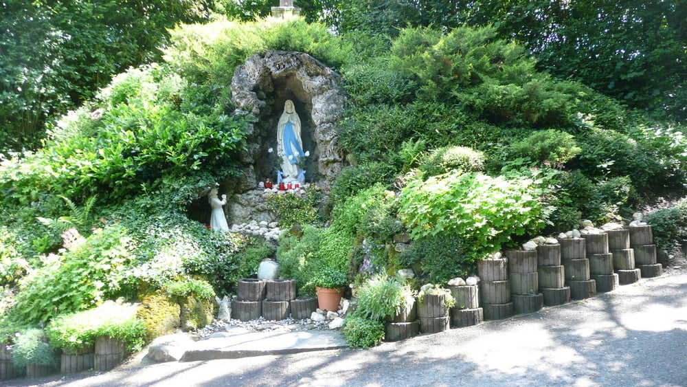
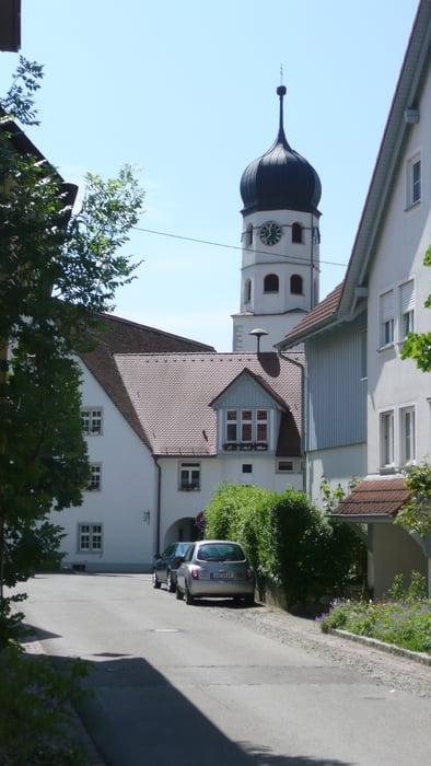
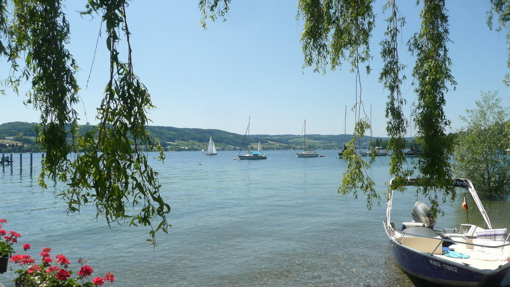
Vom Parkplatz an der Strandhalle in Wangen geht es in Richtung Ortsmitte ca. 100m. Dann links den Berg hoch in Richtung unterer Salenhof. Weiter zum oberen Salenhof und dann in Richtung oberer Bühlhof. Vom oberen Bühlhof Richtung Schienen. Die zweite Abbiegung links in Richtung Verbindungsstraße Öhningen-Schienen. Ein kurzes Stück entlang der Straße Richtung Öhningen. Rechts über die Straße zum Kreuzhof und Elmenhof Richtung Öhningen. Beim Ortseingang Öhningen läuft man auf eine Sitzbank zu und wundert sich wieso an so einem Ort eine Bank aufgebaut wurde. An der Bank angekommen dreht man sich um und erblickt eine wunderschöne Mariengrotte. Weiter gehts durch Öhningen Richtung Strandbad. Nun am See entlang über Kattenhorn nach Wangen.
Tour gallery
Tour map and elevation profile
Minimum height 401 m
Maximum height 644 m
More about the tour author

|
Dilldap |
Comments

GPS tracks
Trackpoints-
GPX / Garmin Map Source (gpx) download
-
TCX / Garmin Training Center® (tcx) download
-
CRS / Garmin Training Center® (crs) download
-
Google Earth (kml) download
-
G7ToWin (g7t) download
-
TTQV (trk) download
-
Overlay (ovl) download
-
Fugawi (txt) download
-
Kompass (DAV) Track (tk) download
-
Track data sheet (pdf) download
-
Original file of the author (gpx) download
More about the tour author
|
|
Dilldap |
Add to my favorites
Remove from my favorites
Edit tags
Open track
My score
Rate