


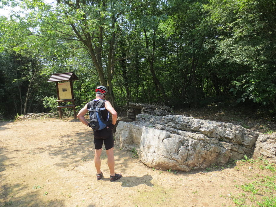
Wir starten am Camping Arco und fahren Richtung Norden, links an der Römerbrücke, Dro und unter den Sonnenplatten vorbei bis wir vor Pietramurata die Straße überqueren.Wir füllen noch einmal die Trinkflaschen und fahren durch die Weinreben bis Pergolese Nun weiter auf der Straße bergauf bis zum höchsten Punkt S.Siro.Jetzt geht es rechts ab auf eine alte Römerstraße der wir, mal auf mal ab, bis an eine Teerstraße folgen.Auf der Straße geht es weiter bis Cavedine und im Ort, bevor wir die Hauptstraße erreichen rechts ab bis Vigo Cavedine wo wir die Hauptstraße überqueren.Wir sind jetzt auf und ab, umständlich zur La Casina gefahren.Bei der nächsten Tour werden wir noch 500 m weiter auf der Hauptstraße und dann links zum Ristorante abbiegen. Nach dem wir Hunger und Durst gestillt haben, geht es über Braila wieder zurück nach Arco wo im Tarifa das beste Eis von ganz Italien auf uns wartet.
Tour gallery


Tour map and elevation profile
Minimum height 60 m
Maximum height 613 m
More about the tour author
|
|
baumgarten |
Comments

GPS tracks
Trackpoints-
GPX / Garmin Map Source (gpx) download
-
TCX / Garmin Training Center® (tcx) download
-
CRS / Garmin Training Center® (crs) download
-
Google Earth (kml) download
-
G7ToWin (g7t) download
-
TTQV (trk) download
-
Overlay (ovl) download
-
Fugawi (txt) download
-
Kompass (DAV) Track (tk) download
-
Track data sheet (pdf) download
-
Original file of the author (gpx) download
More about the tour author
|
|
baumgarten |
Add to my favorites
Remove from my favorites
Edit tags
Open track
My score
Rate