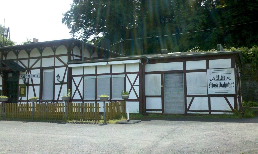
Von Trier Hbf geht es durch den Grüngürtel vorbei an der Porta Nigra zur Moselbrücke. Überquerung der Mosel zum Moselradweg. Kleine Abstecher nach Longuich und Detzem. Auf Höhe Thörnich habe ich den Radweg verlassen. Moselüberquerung Richtung Klüsserath und dann die Landstraße hoch (-geschoben – starke Steigung!) nach Hetzerath Bf.
Tour map and elevation profile
Minimum height 126 m
Maximum height 273 m
Comments

GPS tracks
Trackpoints-
GPX / Garmin Map Source (gpx) download
-
TCX / Garmin Training Center® (tcx) download
-
CRS / Garmin Training Center® (crs) download
-
Google Earth (kml) download
-
G7ToWin (g7t) download
-
TTQV (trk) download
-
Overlay (ovl) download
-
Fugawi (txt) download
-
Kompass (DAV) Track (tk) download
-
Track data sheet (pdf) download
-
Original file of the author (gpx) download
Add to my favorites
Remove from my favorites
Edit tags
Open track
My score
Rate

