


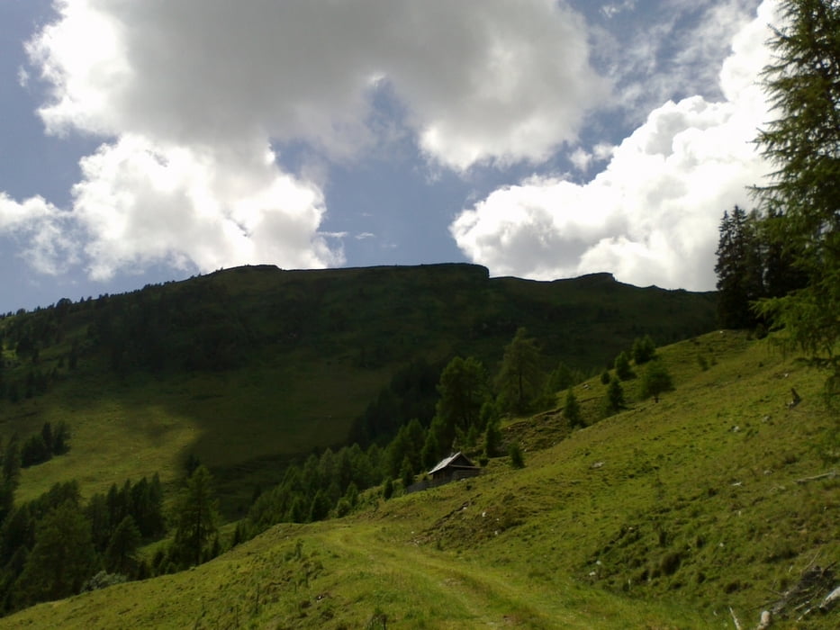
Von Spittal aus über den Fratres, dann der Römerstraße entlang. Nach ca. 11 km Asphalt beginnt der wunderbare Almweg bis hinauf zur Bergfriedhütte. Leider ist sie derzeit nicht bewirtschaftet. Netter Downhill, dann auf Nebenstraßerl üb er Lieserhofen zurück.
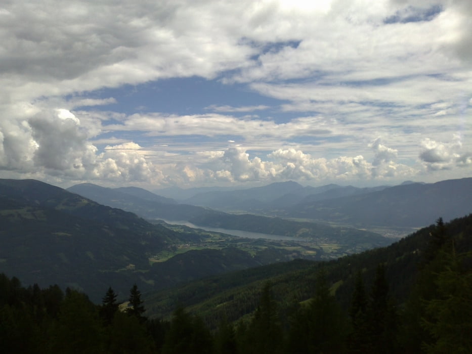
Obwohl der Asphaltanteil bei dieser Tour ungefähr 50% beträgt, ist sie doch empfehlenswert. Herrliche Ausblicke auf den Millstätter See.
Tour gallery
Tour map and elevation profile
Minimum height 549 m
Maximum height 1770 m
More about the tour author
|
|
mitter |
Comments

Start in Spittal beim Spital.
GPS tracks
Trackpoints-
GPX / Garmin Map Source (gpx) download
-
TCX / Garmin Training Center® (tcx) download
-
CRS / Garmin Training Center® (crs) download
-
Google Earth (kml) download
-
G7ToWin (g7t) download
-
TTQV (trk) download
-
Overlay (ovl) download
-
Fugawi (txt) download
-
Kompass (DAV) Track (tk) download
-
Track data sheet (pdf) download
-
Original file of the author (gpx) download
More about the tour author
|
|
mitter |
Add to my favorites
Remove from my favorites
Edit tags
Open track
My score
Rate