


Holzland-Runde XXL - Die Verbindung zwischen Oberbayern und Niederbayern ;-)
Ein Auf und Ab mit insgesamt rd. 1.200 Höhenmetern.
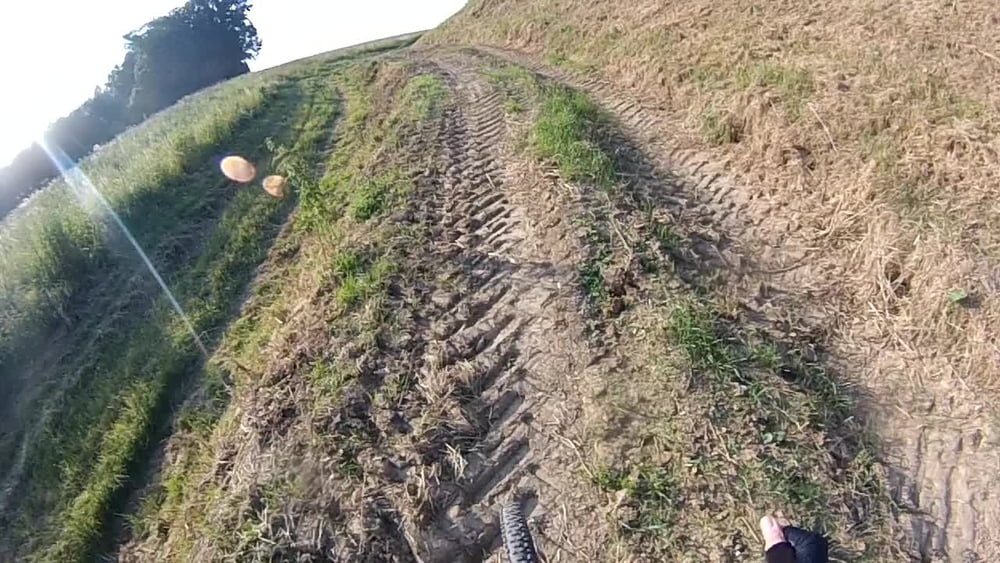
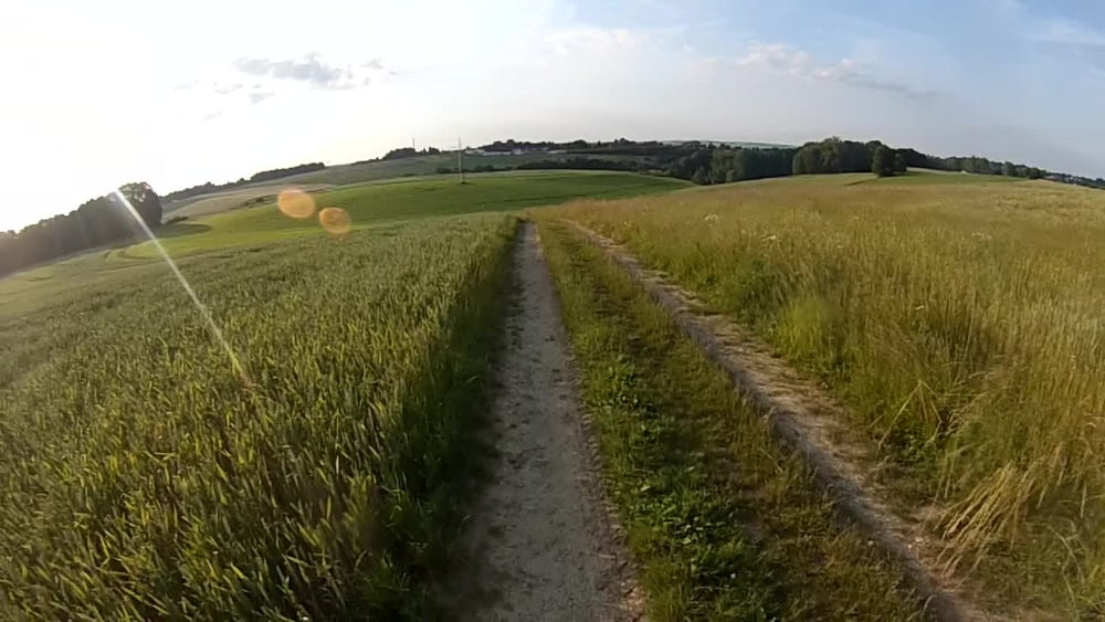
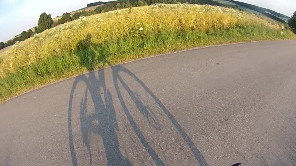
Überwiegend Wald- und Feldwege und Trails. Wenn Teer, dann Ortsstraßen (die Chance für den Biergarten) oder gering befahrene Nebenstraßen.
Tourstart ist in Wartenberg und geht erst mal etwas Richtung Westen, d.h. bergab am Parkplatz beim Penny-Markt.
Tour gallery

Tour map and elevation profile
Minimum height 418 m
Maximum height 526 m
More about the tour author
|
|
seppfe |
Comments

Parken kann man beim Penny-Markt - direkt neben der Kriche in Wartenberg.
Parkplatz ist 24h geöffnet.
Tourstart geht Richtung Westen, d.h. bergab am Parkplatz.
GPS tracks
Trackpoints-
GPX / Garmin Map Source (gpx) download
-
TCX / Garmin Training Center® (tcx) download
-
CRS / Garmin Training Center® (crs) download
-
Google Earth (kml) download
-
G7ToWin (g7t) download
-
TTQV (trk) download
-
Overlay (ovl) download
-
Fugawi (txt) download
-
Kompass (DAV) Track (tk) download
-
Track data sheet (pdf) download
-
Original file of the author (gpx) download
More about the tour author
|
|
seppfe |
Add to my favorites
Remove from my favorites
Edit tags
Open track
My score
Rate