Login

Forgotten password?

Cookies have to be accepted!
Your browser's cookie functionality is disabled. Please enable this functionality.

Not a member yet?

Register now
Login

Available for registred users only

Log in to use this feature.

Forgotten password?

Cookies have to be accepted!
Your browser's cookie functionality is disabled. Please enable this functionality.

Not a member yet?

Register now
Filter
Categories
Advanced filters
  • Distance (km)
  • Height
Save filters Reset filter

TrackRank

QRCode

Technical data

Distance42,3 km Height585 m Way down587 m Duration03:00 h:m Date05.11.2007
Scores Author Landscape Fun factor Fitness Technique

Statistics

3042 Views 2 Scores 282 Downloads 1.00 Average
Rate
  • Track data sheet
  • Directions
  • Downloads
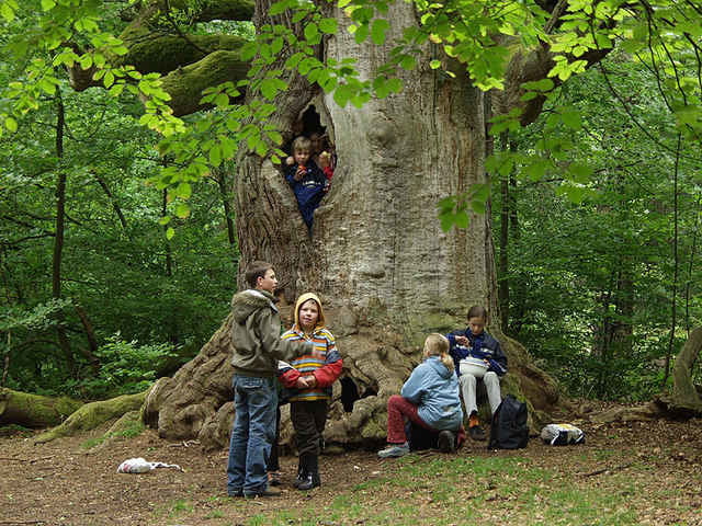
Beginn und Ende der Tour ist in Gottsbühren. Sie führt teilweise über Straßen wie auch über gut befestigte Waldwege. Laub-, Misch- und Nadelwald wechseln sich ab. Unglaubliche Einblicke in alte Eichenwälder erhält man teilweise rechts und links des Weges. Eine Tour, die sich lohnt und sowohl mit der Familie gemütlich wie auch mit dem Mountainbike sportlich gefahren werden kann.

Further information at

http://www.reinhardswald.de

Tour gallery

Tour map and elevation profile

  • Open Street Map
  • Google
Minimum height 177 m Maximum height 428 m Detailed view

More about the tour author

Cracker
Member since 2007

Send private message

Comments

biker_78 on 15.10.2009

Sababurg-Runde

wohl doch eher eine Runde für die Familie oder für Querfeldein-Einsteiger... für "sportlich ambitionierte" Biker, die eine Herausforderung im Kasseler Umland suchen und dafür sogar eine etwas weitere Anreise in Kauf nehmen eher abzuraten... da gibt die Region sicher interessantere Touren mit einem weit aus höherem Mountainbike-Spaßfaktor her... aus meiner Sicht entspricht die Route eher der Kategorie "Trekking"

GPS tracks

Trackpoints
  • GPX / Garmin Map Source (gpx) download
  • TCX / Garmin Training Center® (tcx) download
  • CRS / Garmin Training Center® (crs) download
  • Google Earth (kml) download
  • G7ToWin (g7t) download
  • TTQV (trk) download
  • Overlay (ovl) download
  • Fugawi (txt) download
  • Kompass (DAV) Track (tk) download
  • Track data sheet (pdf) download
  • Original file of the author (gpx) download

More about the tour author

Cracker
Member since 2007

Send private message
Share track
Add to my favorites
Remove from my favorites
Edit tags
My score
Rate
Track: Sababurg und Reinhardswald
Type: Trekkingbike
Distance: 42,3 km
Evaluated on:
Duration:
Day(s)
Hour(s)
Minute(s)
Score: Landscape Fun factor Fitness Technique