


gemütliche Samstag Nachmittags Tour,
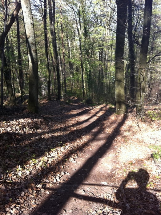
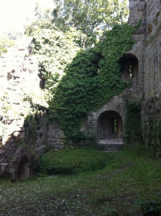
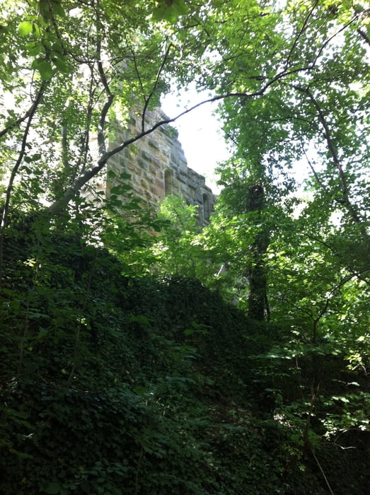
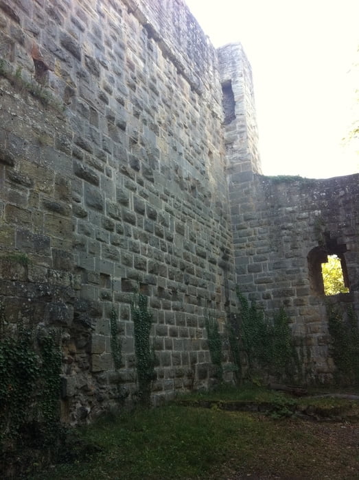
Tour beginnt in Kleinsachsenheim am Aldiparkplatz und führt auf Asphalt und Schotter Richtung Weinberge zum Baiselsberg hoch-Ochsenbach (schöner Trail) runter und dann wieder hoch zur Blankenhorn Ruine (Überdachung+Grillplatz).
Von dort aus über Schotter zu spaßigen Trails runter nach Spielberg.Na durch die Weinberge Richtung Freudentaler Sportplatz.Am Sportplatz den Aspahlt Weg runter bis es rechts geht,kurz bevor es rechts geht ist noch ein Bauerhof=da gibts sehr leckeres selbst hergestelltes Eis :-)
Mit Eis gestärkt geht es dann durch Freudental durch Richtung Segelflugplatz da rechts durch den Wald und über die Felder wieder zum Ausgangspunkt.
Tour gallery
Tour map and elevation profile
Minimum height 193 m
Maximum height 433 m
More about the tour author
|
|
Dkan |
Comments

74321 Bietigheim-Bissingen nach Kleinsachsenheim dort dann Richtung Löchgau kurz vor Ortsende ist links der Aldiparkplatz
GPS tracks
Trackpoints-
GPX / Garmin Map Source (gpx) download
-
TCX / Garmin Training Center® (tcx) download
-
CRS / Garmin Training Center® (crs) download
-
Google Earth (kml) download
-
G7ToWin (g7t) download
-
TTQV (trk) download
-
Overlay (ovl) download
-
Fugawi (txt) download
-
Kompass (DAV) Track (tk) download
-
Track data sheet (pdf) download
-
Original file of the author (gpx) download
More about the tour author
|
|
Dkan |
Add to my favorites
Remove from my favorites
Edit tags
Open track
My score
Rate