


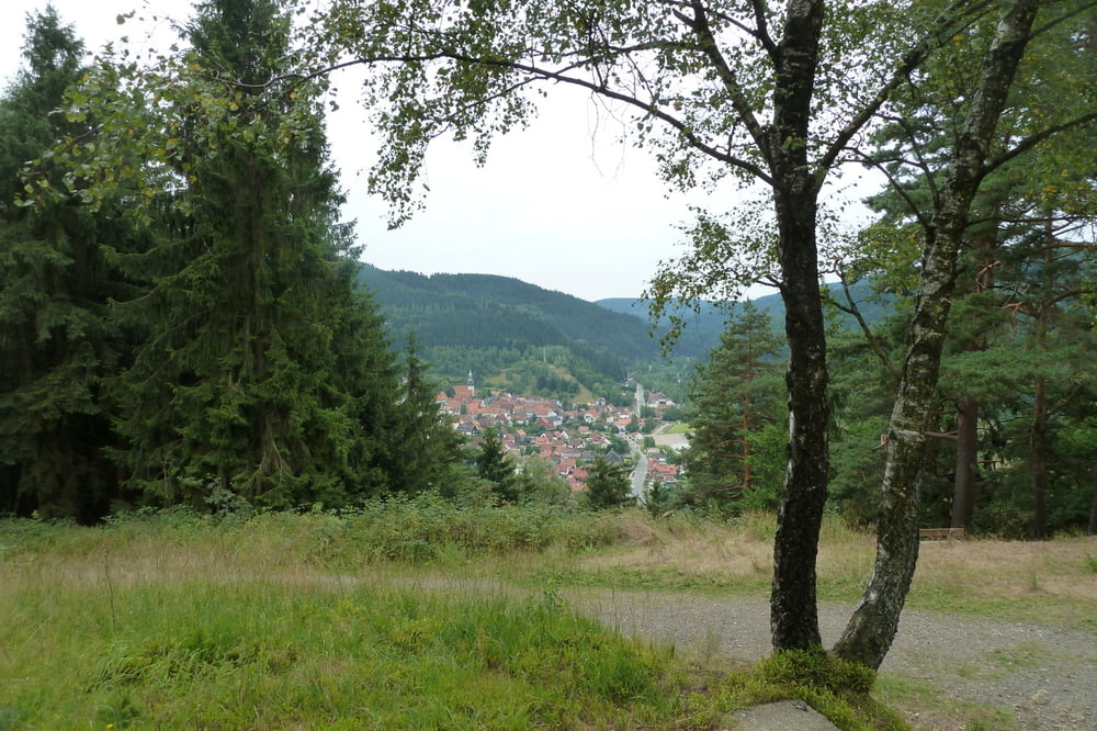
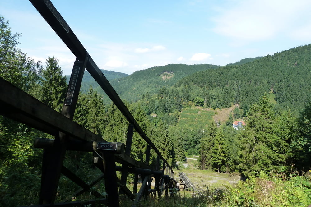
Tolle Tour die den Granestausee, den Innerstestausee und Wolfshagen, Lautenthal und Hahnenklee streift. Einige kleinere Schiebepassagen sind zwischendurch zu bewältigen. Die tollen Trails machen dies aber wieder wett. Der Rückweg durch Lautenthal läd zum pausieren im XXXL Schnitzelhaus ein. Das hat man sich bis dahin verdient. Bei Hahnenklee führt die Abfahrt teils auf der Downhillstrecke runter. Hier ist mit einem konventionellen Mountainbike Vorsicht geboten. Kurz vor dem Ende der Tour kann man es sich auf der Steinbergalm gut gehen lassen und den Flüssigkeitsstand im Körper noch mal korrigieren.
Tour gallery


Tour map and elevation profile
Minimum height 267 m
Maximum height 606 m
More about the tour author
|
|
xav0300 |
Comments

GPS tracks
Trackpoints-
GPX / Garmin Map Source (gpx) download
-
TCX / Garmin Training Center® (tcx) download
-
CRS / Garmin Training Center® (crs) download
-
Google Earth (kml) download
-
G7ToWin (g7t) download
-
TTQV (trk) download
-
Overlay (ovl) download
-
Fugawi (txt) download
-
Kompass (DAV) Track (tk) download
-
Track data sheet (pdf) download
-
Original file of the author (gpx) download
More about the tour author
|
|
xav0300 |
Add to my favorites
Remove from my favorites
Edit tags
Open track
My score
Rate