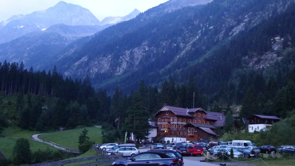
Vom Parkplatz Gasthof Breitlahner (gebührenpflichtig) auf der Fortststraße hinauf bis zum Gasthof Alpenrose und hier rechts ab auf gut markiertem Weg bis zum Schönbichler Horn. Der Gipfelaufbau ist seilversichert und gut besucht (Berliner Höhenweg). Abstieg nach Osten über die Schönbichler Scharte anfangs ebenfalls versichert hinunter zum Furtschaglhaus.
Tour gallery
Tour map and elevation profile
Minimum height 1256 m
Maximum height 3084 m
Comments

GPS tracks
Trackpoints-
GPX / Garmin Map Source (gpx) download
-
TCX / Garmin Training Center® (tcx) download
-
CRS / Garmin Training Center® (crs) download
-
Google Earth (kml) download
-
G7ToWin (g7t) download
-
TTQV (trk) download
-
Overlay (ovl) download
-
Fugawi (txt) download
-
Kompass (DAV) Track (tk) download
-
Track data sheet (pdf) download
-
Original file of the author (gpx) download
Add to my favorites
Remove from my favorites
Edit tags
Open track
My score
Rate


