


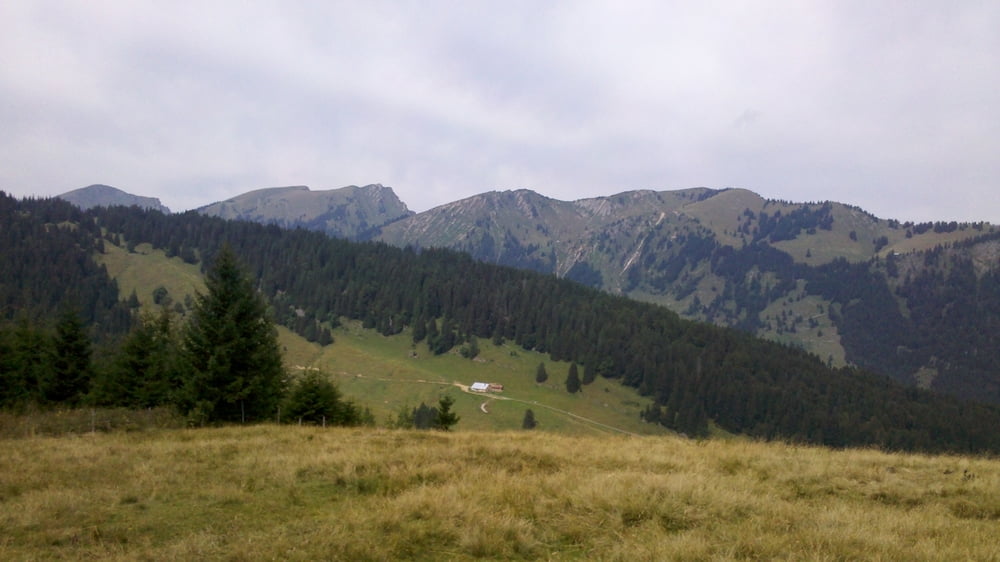
Kurz aber Knackig im Gunzesrieder Tal mit vielen Einkehrmöglichkeiten und tollen Ausblicken.
Runde unbedingt im Uhrueigersinn fahren, sonst macht die Abfahrt keinen Spaß!
Die Route führt ins Ostertal und dann steil hinauf zur Höllritzer Alpe. Die Steigung ist ordentlich, ich musste einiges schieben (aber das liegt vielleicht nur an meiner (un)fitness.
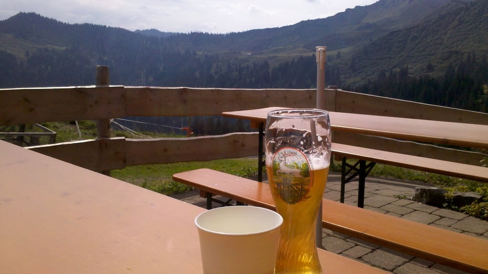
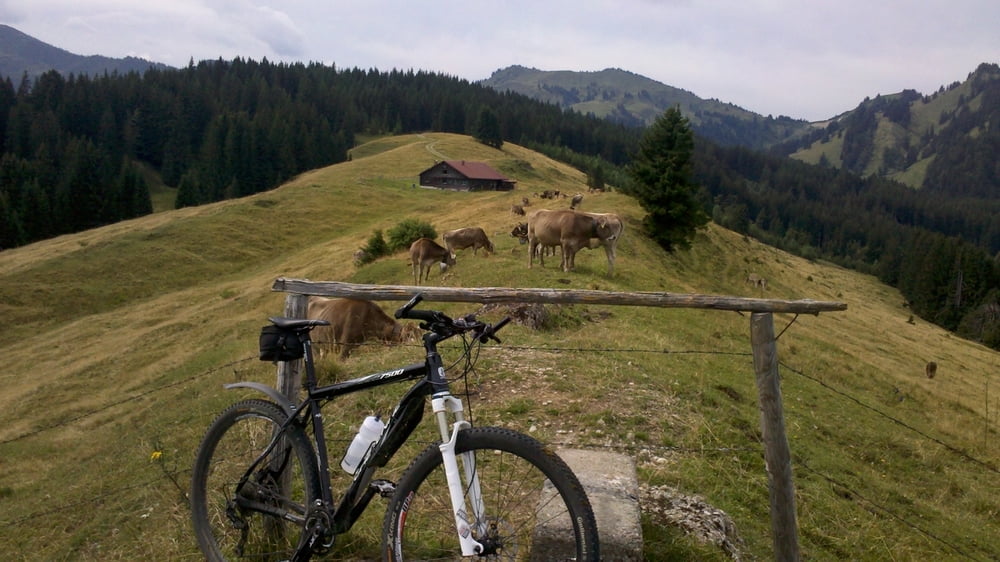
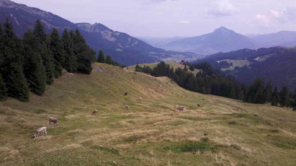
Auf der Alpe unbedingt die köstliche Buttermilch trinken! Bergab geht es dann über Feldwege, Alpweiden und zum Schluss Highspeed auf Asphalt.
Tour gallery
Tour map and elevation profile
Minimum height 922 m
Maximum height 1490 m
More about the tour author

|
toni5608 |
Comments
Immenstadt - Blaichach - Gunzesried - Gunzesried Säge-Parkplatz
GPS tracks
Trackpoints-
GPX / Garmin Map Source (gpx) download
-
TCX / Garmin Training Center® (tcx) download
-
CRS / Garmin Training Center® (crs) download
-
Google Earth (kml) download
-
G7ToWin (g7t) download
-
TTQV (trk) download
-
Overlay (ovl) download
-
Fugawi (txt) download
-
Kompass (DAV) Track (tk) download
-
Track data sheet (pdf) download
-
Original file of the author (gpx) download
More about the tour author
|
|
toni5608 |
Add to my favorites
Remove from my favorites
Edit tags
Open track
My score
Rate
Teer