

Die Wanderung beginnt am Bahnhof (860 Hm) in Titisee. Hier muss man wohl oder übel ein paar Euro für die Parkgebühren bezahlen. Zunächst sind wir parallel der B 317 und der B 31 ca. 1,5 km in Richtung Neustadt gewandert. Danach beginnt der Aufstieg zum Saiger Kreuz auf ca. 1020 Hm.
Vom Saiger Kreuz läuft man streckenweise wieder den Mittelweg des Schwarzwaldes. Bis zur Höhe des Hochfirstturms hat man nochmals ca. 200 Hm vor sich. Die sind allerdings gut ausgezeichnet und wenn man oben ist kann man vom Turm, bei guter Sicht, atemberaubende Aussichten genießen. Man hat ringsum den Nordschwarzwald, Feldberg, Schauinsland, den Kandel bei Waldkirch und auch die gesamte Alpenkette zum Bestaunen.
Hier oben lässt sich auch im Gasthaus eine Rast mit Vesper einplanen. Nach der Pause sind wir dann in Richtung Westen zum Rotkreuz über die Saiger Höhe gewandert. Beim Rotkreuz geht es dann wieder in Richtung Titisee und im Ort selber ist man im Zentrum des Tourismus, den man besser wieder verlässt. Eine schöne Wanderung, die man unternehmen sollte, wenn die Sicht vom Hochfirst gut ist.
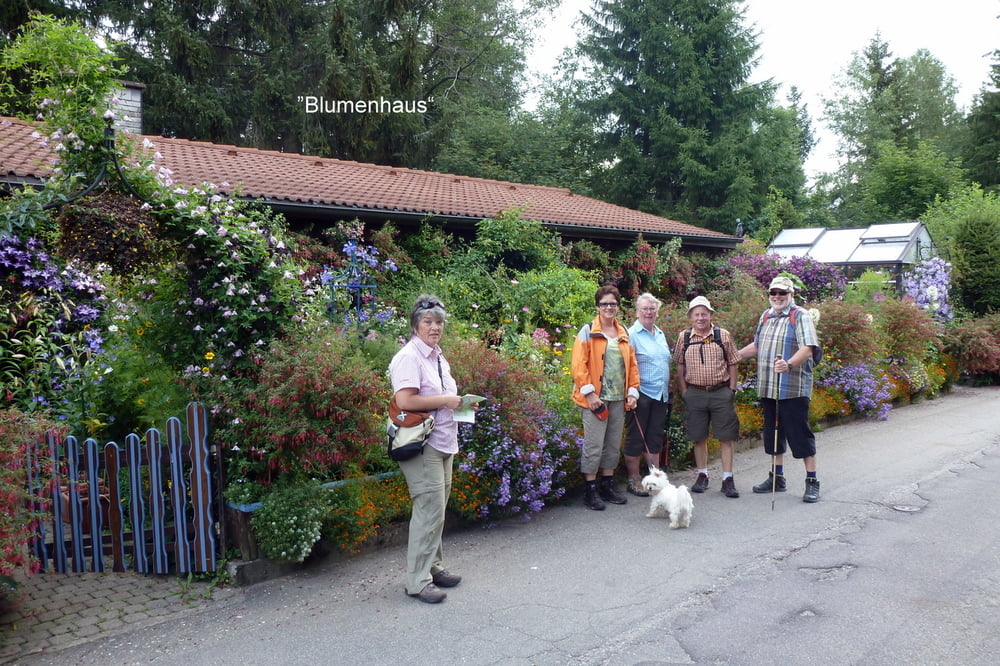
Tour gallery


Tour map and elevation profile
Minimum height 845 m
Maximum height 1195 m
More about the tour author
|
|
SiegfriedTheurer |
Comments

GPS tracks
Trackpoints-
GPX / Garmin Map Source (gpx) download
-
TCX / Garmin Training Center® (tcx) download
-
CRS / Garmin Training Center® (crs) download
-
Google Earth (kml) download
-
G7ToWin (g7t) download
-
TTQV (trk) download
-
Overlay (ovl) download
-
Fugawi (txt) download
-
Kompass (DAV) Track (tk) download
-
Track data sheet (pdf) download
-
Original file of the author (gpx) download
More about the tour author
|
|
SiegfriedTheurer |
Add to my favorites
Remove from my favorites
Edit tags
Open track
My score
Rate