
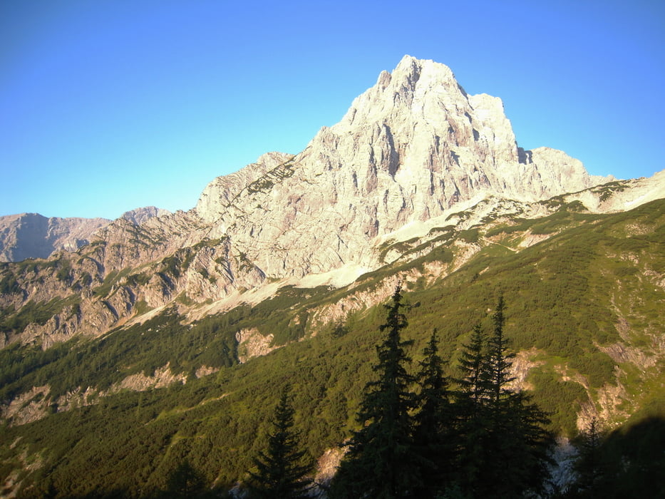

Začíná se na chatě Prielschutzhaus po značené turistické cestě až k rozcestníku ,kde se odbočuje k zajištěné cestě Stodertalersteig. Vše dobře značené. Touto cestou do sedla pod Spitzmauer a odtud asi 40 minut na vrchol. Cesta zpět po turistické cestě. Uváděny čas je bez přestávek.
Tour gallery


Tour map and elevation profile
Minimum height 1410 m
Maximum height 2462 m
More about the tour author

|
Tomino119 |
Comments

Výchozí bod je v obci Hinterstoder. Příjezd do obce bezproblémový. Pomocí autonavigace. Psát odkud jsem přijel já pokládám za zbytečné.
GPS tracks
Trackpoints-
GPX / Garmin Map Source (gpx) download
-
TCX / Garmin Training Center® (tcx) download
-
CRS / Garmin Training Center® (crs) download
-
Google Earth (kml) download
-
G7ToWin (g7t) download
-
TTQV (trk) download
-
Overlay (ovl) download
-
Fugawi (txt) download
-
Kompass (DAV) Track (tk) download
-
Track data sheet (pdf) download
-
Original file of the author (gpx) download
More about the tour author
|
|
Tomino119 |
Add to my favorites
Remove from my favorites
Edit tags
Open track
My score
Rate