


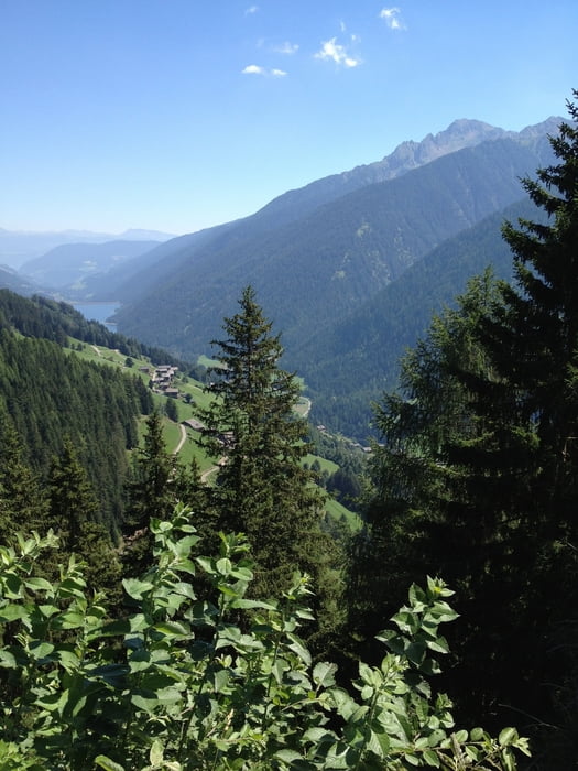
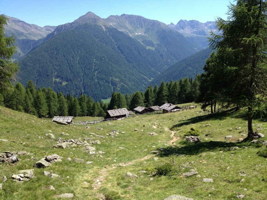
Die Wanderung beginnt in St. Nikolaus im Ultental. Von dort geht es steil bergauf bis zur Steinbergalm. Dort hat man sich dann eine kleine Erfrischung verdient. Danach geht es eher gemütlich weiter bis zur Kaserfeldalm, wo sich eine Einkehr anbietet. Danach wandert man bergab nach St. Gertraud am Ende des Ultentals. Von dort geht es dann in einem leichten Auf und Ab auf dem Ultener Höfeweg zurück nach St. Nikolaus.
Tour gallery


Tour map and elevation profile
Minimum height 1252 m
Maximum height 2054 m
More about the tour author

|
thmayr |
Comments

Von Meran über Lana ins Ultental
GPS tracks
Trackpoints-
GPX / Garmin Map Source (gpx) download
-
TCX / Garmin Training Center® (tcx) download
-
CRS / Garmin Training Center® (crs) download
-
Google Earth (kml) download
-
G7ToWin (g7t) download
-
TTQV (trk) download
-
Overlay (ovl) download
-
Fugawi (txt) download
-
Kompass (DAV) Track (tk) download
-
Track data sheet (pdf) download
-
Original file of the author (gpx) download
More about the tour author
|
|
thmayr |
Add to my favorites
Remove from my favorites
Edit tags
Open track
My score
Rate