


Seen und Berge bis zum abwinken!
Startpunkt Bahnhof Haslach 8 bei Wertach / Oy)
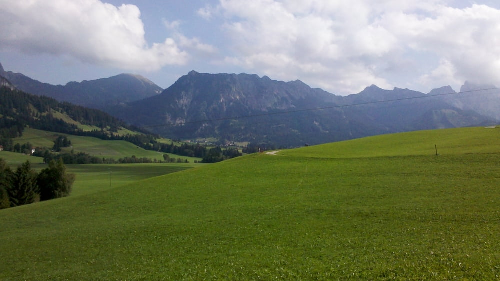
Landschaftlich sehr schöne Tour vom Grüntensee (Oberallgäu) über Unterjoch ins Thannheimer Tal bis zum Gaichtpass. Wer leckeren frichen Fisch haben will:: Im Thannheimer Tal gibt es zwei Fischzuchten mit angeschlossener Brotzeitstube.
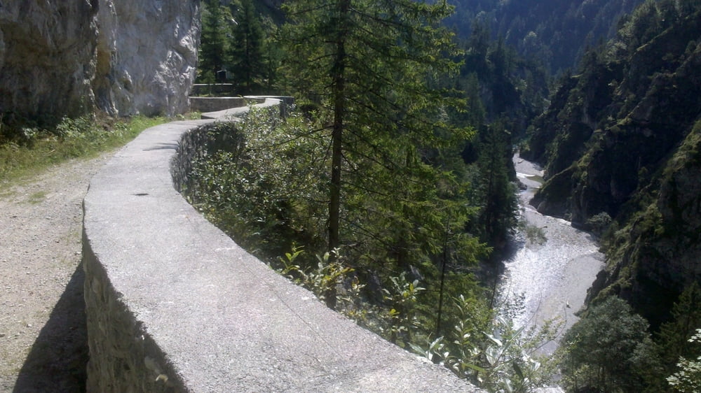
Sehr sehenswerte Abfahrt über die alte Gaichtpassstraße ins Lechtal.
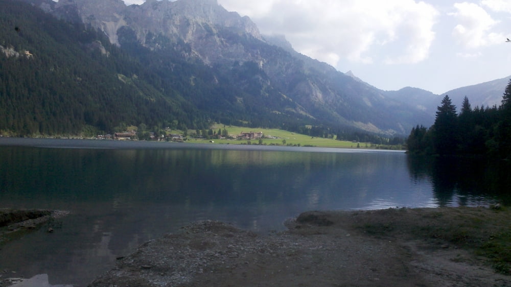
Gemütliche Fahrt entlang des Lechs bis Reutte. Kurzer Abstecher zum Frauensee. Die zusätzlichen Höhenmeter lohnen sich!
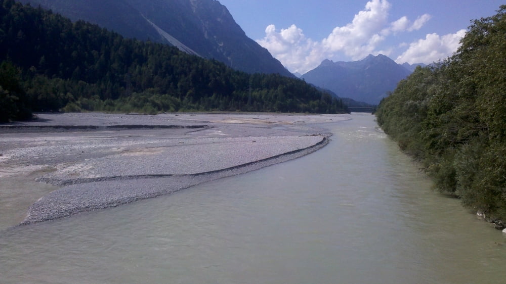
Abfahrt ins Lechtal und entlang derVils bis Pfronten.
Rückfahrt nach zum Startpunkt Wertach-Haslach mit dem Zug Fahrradmitnahme gut möglich.
Super Bademöglichkeiten am Haldensee, im Lech,am Frauensee und natürlich zum Schluss im Grüntensee. Überall viele Einkehrmöglichkeiten. Man kann die Runde ganz mit dem rad fahren, oder aber schon ab Reutte wieder in den Zug steigen.
Viel Spaß
Tour gallery


Tour map and elevation profile
Minimum height 824 m
Maximum height 1166 m
More about the tour author

|
toni5608 |
Comments

GPS tracks
Trackpoints-
GPX / Garmin Map Source (gpx) download
-
TCX / Garmin Training Center® (tcx) download
-
CRS / Garmin Training Center® (crs) download
-
Google Earth (kml) download
-
G7ToWin (g7t) download
-
TTQV (trk) download
-
Overlay (ovl) download
-
Fugawi (txt) download
-
Kompass (DAV) Track (tk) download
-
Track data sheet (pdf) download
-
Original file of the author (gpx) download
More about the tour author
|
|
toni5608 |
Add to my favorites
Remove from my favorites
Edit tags
Open track
My score
Rate