Aufstieg: 2 Std.25min.
Abfahrt: 35 min.
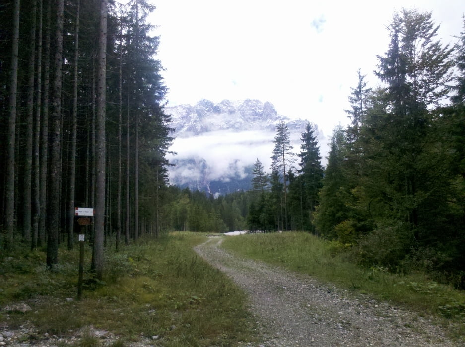
Vom Parkplatz geht es Richtung Valbruna und von dort ca. 2km ins Tal hinein, wo links eine Schotterstraße bis zur Bergstation führt (Hinweistafel).
Die Abfahrt geht entlang des "Büßerweges" steil und sehr holprig.
Tour gallery
Tour map and elevation profile
Minimum height 788 m
Maximum height 1793 m
Comments

Von Tarvis Richtung Camporosso kurz vor dem Kreisverkehr Camporosso nach links in die Via Lussari dann weiter ca.300m zum Parkplatz.
GPS tracks
Trackpoints-
GPX / Garmin Map Source (gpx) download
-
TCX / Garmin Training Center® (tcx) download
-
CRS / Garmin Training Center® (crs) download
-
Google Earth (kml) download
-
G7ToWin (g7t) download
-
TTQV (trk) download
-
Overlay (ovl) download
-
Fugawi (txt) download
-
Kompass (DAV) Track (tk) download
-
Track data sheet (pdf) download
-
Original file of the author (gpx) download
Add to my favorites
Remove from my favorites
Edit tags
Open track
My score
Rate


