Login

Forgotten password?

Cookies have to be accepted!
Your browser's cookie functionality is disabled. Please enable this functionality.

Not a member yet?

Register now
Login

Available for registred users only

Log in to use this feature.

Forgotten password?

Cookies have to be accepted!
Your browser's cookie functionality is disabled. Please enable this functionality.

Not a member yet?

Register now
Filter
Categories
Advanced filters
  • Distance (km)
  • Height
Save filters Reset filter

TrackRank

QRCode

Technical data

Distance15,1 km Height901 m Way down942 m Duration00:00 h:m Date20.09.2013
Scores Author Landscape Fun factor Fitness Technique

Statistics

378 Views Scores 66 Downloads Average
Rate
  • Track data sheet
  • Directions
  • Downloads

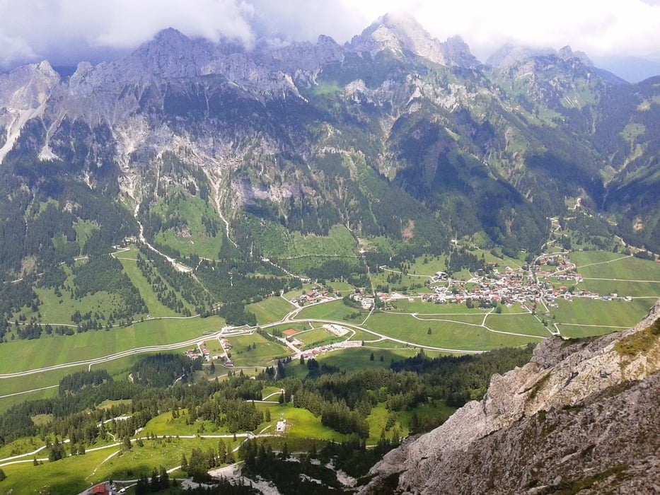
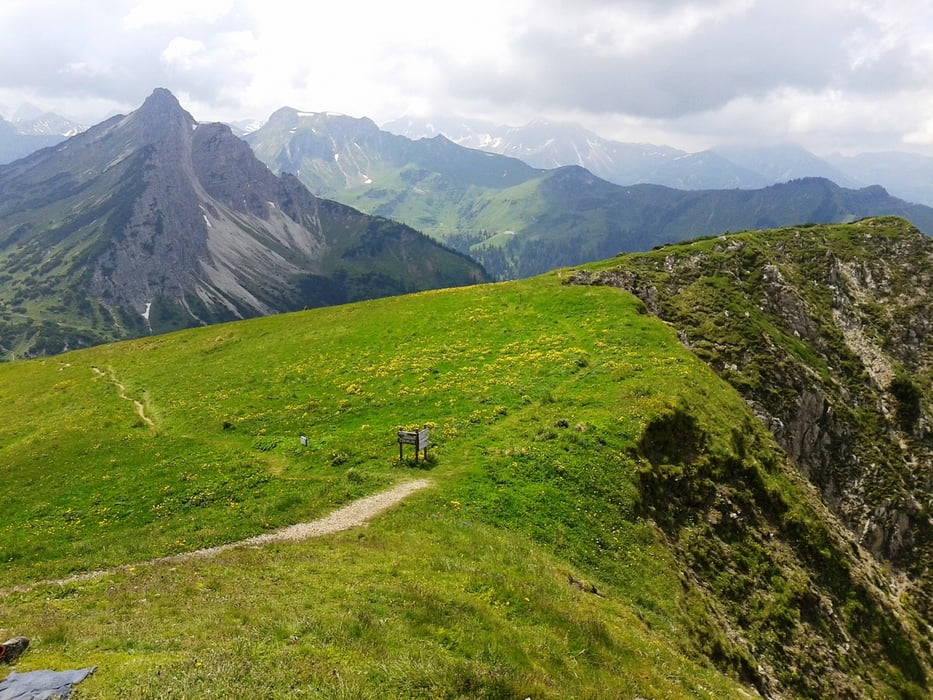
Von Haldensee aus in Richtung Strindenalpe.Dann links ab Richtung Gräner Ödenalpe.Von dort aus auf die Krinenspitze.

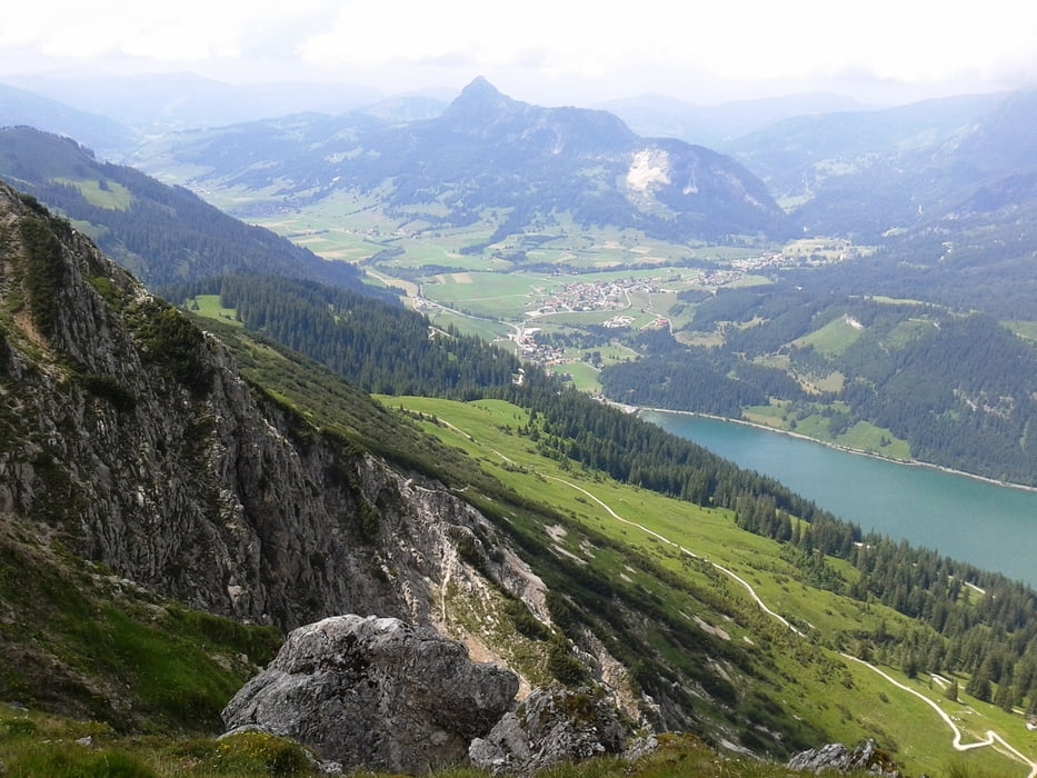
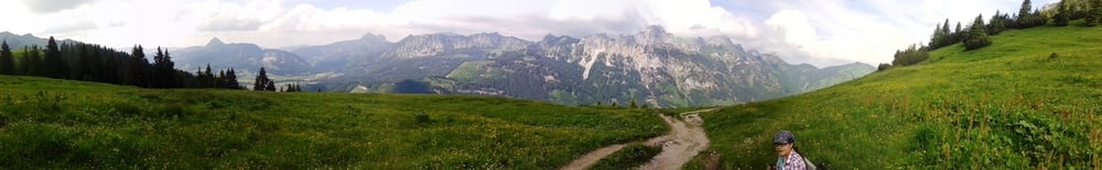
Oben angekommen ein herrlicher Ausblick ins Nesselwängler Tal,den Haldensee bis hin nach Weissendorf/Lech und natürlich in die umliegenden Berge.

Zurück über Nesselwängler Edenalpe zur Krinnenalpe runter zum Haldensee.


Auf GoogleMaps/GoogleEarth/Panoramio sind meine Bilder mit URü gekennzeichnet.


Tour gallery

Tour map and elevation profile

  • Open Street Map
  • Google
Minimum height 1171 m Maximum height 2043 m Detailed view

More about the tour author

Tippelfuss
Member since 2013

Send private message

Comments

GPS tracks

Trackpoints
  • GPX / Garmin Map Source (gpx) download
  • TCX / Garmin Training Center® (tcx) download
  • CRS / Garmin Training Center® (crs) download
  • Google Earth (kml) download
  • G7ToWin (g7t) download
  • TTQV (trk) download
  • Overlay (ovl) download
  • Fugawi (txt) download
  • Kompass (DAV) Track (tk) download
  • Track data sheet (pdf) download
  • Original file of the author (gpx) download

More about the tour author

Tippelfuss
Member since 2013

Send private message
Share track
Add to my favorites
Remove from my favorites
Edit tags
My score
Rate
Track: Krinnenspitze_Krinnenalpe ab Haldensee
Type: Hiking
Distance: 15,1 km
Evaluated on:
Duration:
Day(s)
Hour(s)
Minute(s)
Score: Landscape Fun factor Fitness Technique