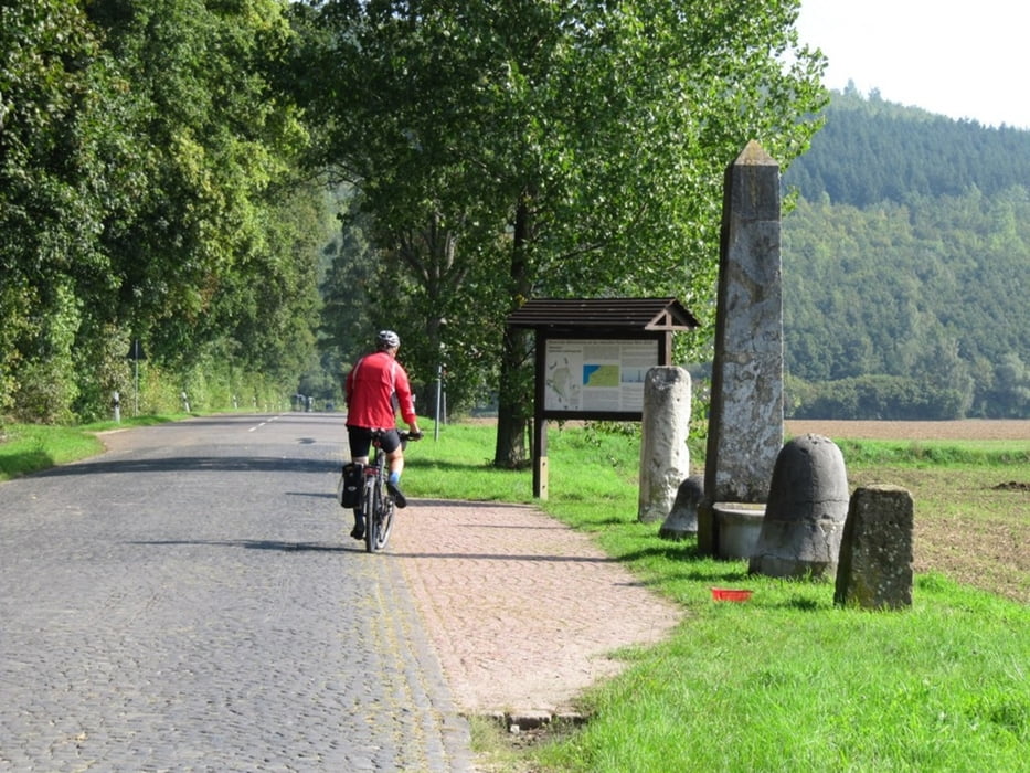
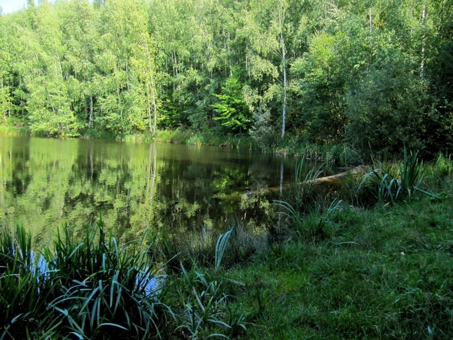
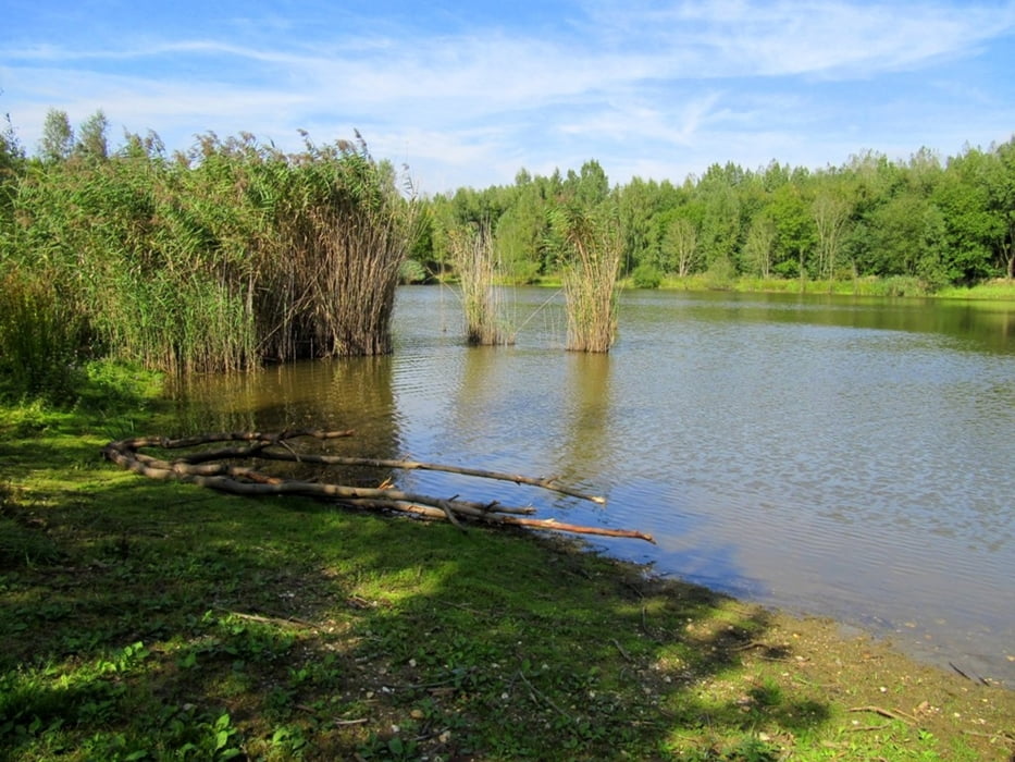
Flache Strecke, Wirtschaftsweg, Waldweg, wenig Straße.
Further information at
https://maps.google.de/maps?q=Dechant-Fabry-Stra%C3%9Fe,+Girbelsrath,+Merzenich&hl=de&ie=UTF8&sll=51.427085,7.663989&sspn=4.083187,12.557373&oq=Girbelsrath+Dech&hnear=Dechant-Fabry-Stra%C3%9Fe,+Girbelsrath+52399+Merzenich&t=m&z=16Tour gallery
Tour map and elevation profile
Minimum height 68 m
Maximum height 165 m
Comments

Da es eine Rundtour ist, kann man sie überall starten.
GPS tracks
Trackpoints-
GPX / Garmin Map Source (gpx) download
-
TCX / Garmin Training Center® (tcx) download
-
CRS / Garmin Training Center® (crs) download
-
Google Earth (kml) download
-
G7ToWin (g7t) download
-
TTQV (trk) download
-
Overlay (ovl) download
-
Fugawi (txt) download
-
Kompass (DAV) Track (tk) download
-
Track data sheet (pdf) download
-
Original file of the author (gpx) download
Add to my favorites
Remove from my favorites
Edit tags
Open track
My score
Rate


