


Jochbergalm vom Marquartstein aus.
Südseite weil jetzt im Oktober hier die Sonne mehr wärmt.
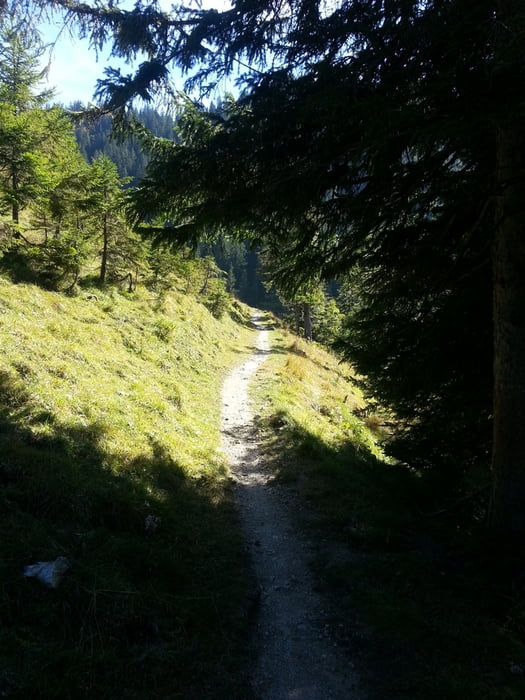
Gleichmässige Steigung vom Parkplatz Hochgern in Marquartstein bis fast zur Alm hoch.
Bei der letzten Abzweigung ca. 150m sehr steil aber noch zu fahren. Ansonsten einfach kurz schieben.
Anschließend ein netter waagrechter Trail zu den Jochbergalmen mit herrlicher Aussicht.
Gerade Ende September Anfang Oktober sind die Jochbergalmen sehr zu empfehlen da man oben noch relativ lange Sonne hat.
Further information at
http://www.marquartstein.de/index.php?id=65Tour gallery

Tour map and elevation profile
Minimum height 613 m
Maximum height 1280 m
More about the tour author
|
|
Draven |
Comments

Von München A8 Richtung Salzburg,
Ausfahrt Bernau
der B305 bis Marquartstein folgen.
Ausgangspunkt:
Parkplatz oberhalb der Burg in Marquartstein nach dem Rathaus links abbiegen und über die alte Achenbrücke danach rechts (Alte Dorfstraße) dann in die Burgstraße zum Wanderparkplatz hinauf.
GPS tracks
Trackpoints-
GPX / Garmin Map Source (gpx) download
-
TCX / Garmin Training Center® (tcx) download
-
CRS / Garmin Training Center® (crs) download
-
Google Earth (kml) download
-
G7ToWin (g7t) download
-
TTQV (trk) download
-
Overlay (ovl) download
-
Fugawi (txt) download
-
Kompass (DAV) Track (tk) download
-
Track data sheet (pdf) download
-
Original file of the author (gpx) download
More about the tour author
|
|
Draven |
Add to my favorites
Remove from my favorites
Edit tags
Open track
My score
Rate