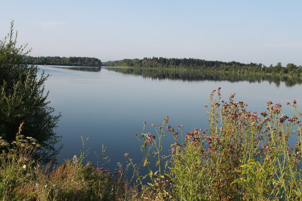
Auf malerischen Wegen umrunden wir bei dieser Wanderung die Wertachstauseen bei Stockheim (Irsingener See und Bingstetter See). Für die elf Kilometer lange Runde sollte man sich einen halben Tag reservieren.
Tour gallery
Tour map and elevation profile
Minimum height 613 m
Maximum height 628 m
Comments

Wir beginnen die Runde östlich von Stockheim, dass nur wenige Kilometer südlich der Autobahn A 96 liegt.
GPS tracks
Trackpoints-
GPX / Garmin Map Source (gpx) download
-
TCX / Garmin Training Center® (tcx) download
-
CRS / Garmin Training Center® (crs) download
-
Google Earth (kml) download
-
G7ToWin (g7t) download
-
TTQV (trk) download
-
Overlay (ovl) download
-
Fugawi (txt) download
-
Kompass (DAV) Track (tk) download
-
Track data sheet (pdf) download
-
Original file of the author (gpx) download
Add to my favorites
Remove from my favorites
Edit tags
Open track
My score
Rate


