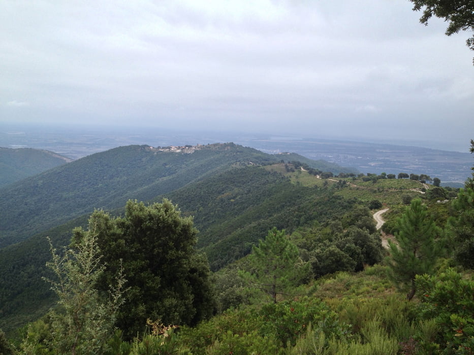
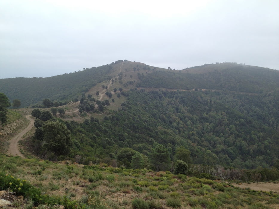
Kaum aus den Dörfern raus in wunderbarer Landschaft. Zuerst hoch nach Serra, von dort das erste mal die Aussicht zum Meer geniessen und die Flasche am Brunnen füllen. Dann weiter durchs Dorf. Ausgangs Dorf geht es offroad nochmals 300 Höhenmeter rauf über super Bikerwege in einer wunderschönen Landschaft. Für die Abfahrt nach Ventiseri ist das Fully bereits gefordert. Danach gibt es die Möglichkeit der Strasse nach runter zu brettern oder dem GPS-Track zu folgen und nach einem Besuch beim Sendeturm von Ventiserie die steile, holperige Abfahrt ins Tal zu nehmen. Hier ist ein Fully definitiv von grossem Vorteil. Es ist eher etws für geübte Biker, der untereste Teil ist sehr steil und ausgewaschen. Zurück auf der Strasse geht es zurück zum Ausgangsort. Gestartet sind wir aus dem Feriendorf Perla die mare.
Tour gallery
Tour map and elevation profile
Minimum height 13 m
Maximum height 753 m
Comments
GPS tracks
Trackpoints-
GPX / Garmin Map Source (gpx) download
-
TCX / Garmin Training Center® (tcx) download
-
CRS / Garmin Training Center® (crs) download
-
Google Earth (kml) download
-
G7ToWin (g7t) download
-
TTQV (trk) download
-
Overlay (ovl) download
-
Fugawi (txt) download
-
Kompass (DAV) Track (tk) download
-
Track data sheet (pdf) download
-
Original file of the author (gpx) download
Add to my favorites
Remove from my favorites
Edit tags
Open track
My score
Rate


Superschöne Tour.
Super Tour
Wem die Abfahrt am Ende im ersten Abschnitt bereits zu anspruchsvoll ist kann auf die Teerabfahrt ausweichen. Am Ende wird es wirklich ziemlich steil und ausgewaschen. Wer sowas mag - wird es lieben ;-)
Vielen Dank fürs Teilen!!!