


Die Wanderung geht durch ein schönes zusammenhängendes Waldgebiet. Die Wege sind überwiegend gut begehbar. Im ersten Drittel der Wanderung, ist als Wermutstropfen die Autobahn A4 als Hintergrundgeräusch wahrzunehmen. Hinter Brächen hat man bei gutem Wetter einen schönen Weitblick in das oberbergische Land.
Einkehrmöglichkeiten gibt es in Kaltenbach und in Brächen.
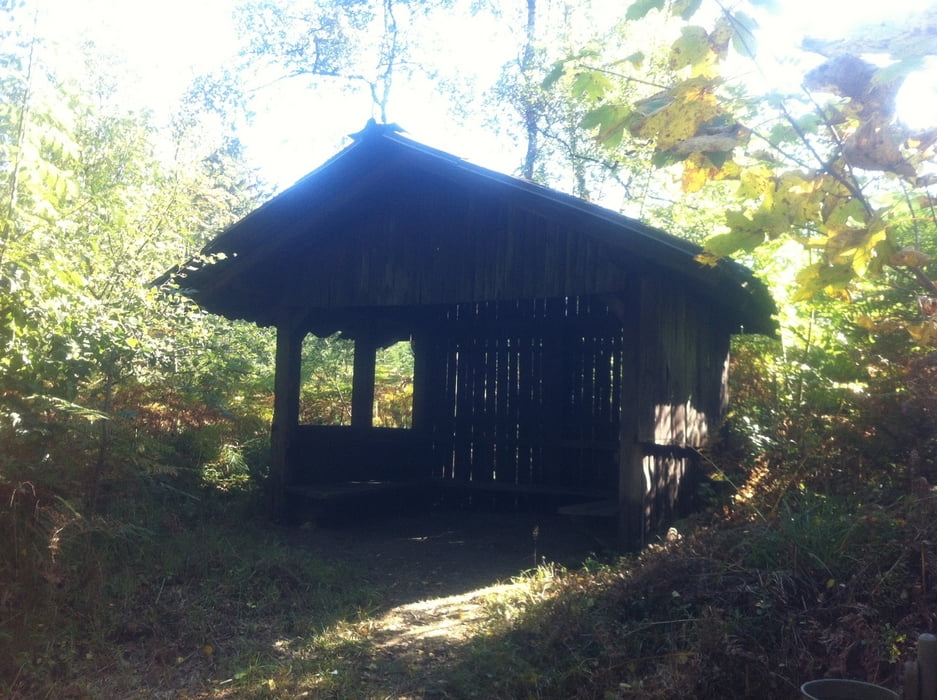
Tour gallery


Tour map and elevation profile
Minimum height 188 m
Maximum height 355 m
More about the tour author

|
Arcus |
Comments

Der Parkplatz befindet sich unmittelbar an der Autobahnabfahrt Bielstein an der A4.
GPS tracks
Trackpoints-
GPX / Garmin Map Source (gpx) download
-
TCX / Garmin Training Center® (tcx) download
-
CRS / Garmin Training Center® (crs) download
-
Google Earth (kml) download
-
G7ToWin (g7t) download
-
TTQV (trk) download
-
Overlay (ovl) download
-
Fugawi (txt) download
-
Kompass (DAV) Track (tk) download
-
Track data sheet (pdf) download
-
Original file of the author (gpx) download
More about the tour author
|
|
Arcus |
Add to my favorites
Remove from my favorites
Edit tags
Open track
My score
Rate