


Sehr schöne Tagestour in herrlicher Landschaft.
Technisch relativ anspruchslos.
Der große Ahornboden ist durch die Straße leider übervölkert - Diese Straße ist die größte Sünde, die ich je in den Bergen gesehen habe - Wochenende möglichst meiden.
Wir haben diese Tour als 3-Tages Tour Gernalm - Falkenhütte, Falkenhütte - Lamsenjochhütte und Lamsenjochhütte - Bergstation Karwendelbahn gemacht.
Das passt gut zusammen
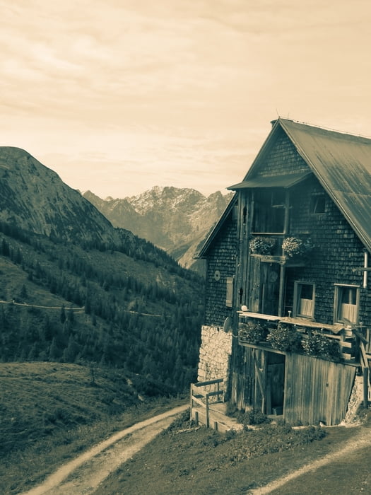
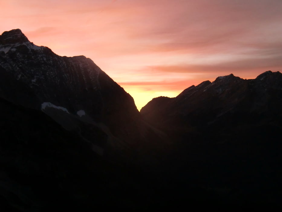
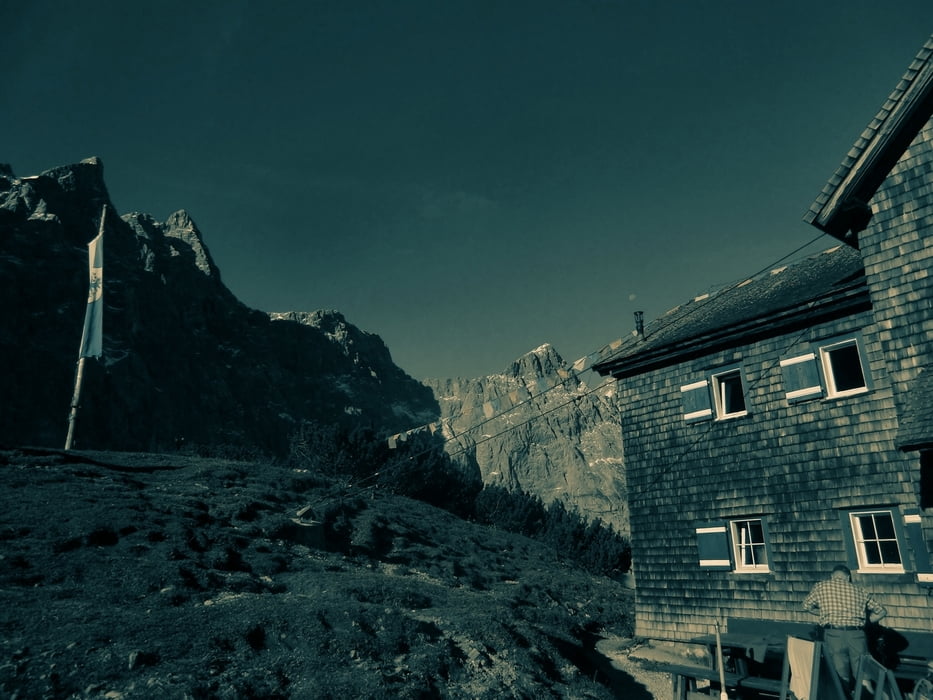
Tour gallery
Tour map and elevation profile
Minimum height 1127 m
Maximum height 1839 m
More about the tour author

|
sagi7 |
Comments

An der Karwendelbergbahn parken. Dort gibt es nur Tagesparktickets - man kann aber per Tag eins ziehen - das ist lt. Liftbetreiber ok.
Von hier aus kann man zur Engalm laufen oder sich ein Taxi bestellen.
GPS tracks
Trackpoints-
GPX / Garmin Map Source (gpx) download
-
TCX / Garmin Training Center® (tcx) download
-
CRS / Garmin Training Center® (crs) download
-
Google Earth (kml) download
-
G7ToWin (g7t) download
-
TTQV (trk) download
-
Overlay (ovl) download
-
Fugawi (txt) download
-
Kompass (DAV) Track (tk) download
-
Track data sheet (pdf) download
-
Original file of the author (gpx) download
More about the tour author
|
|
sagi7 |
Add to my favorites
Remove from my favorites
Edit tags
Open track
My score
Rate