


Dies ist der flachste Bergweg den ich kenne.
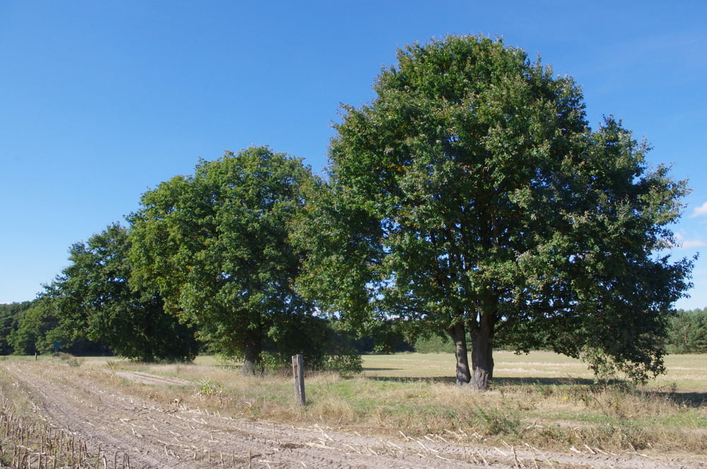
In der Ortsmitte von Ahrensdorf beginnt der Weg. Er führt auf dem Radweg nach Norden um dann nach der Hühnerfarm nach rechts in die Felder abzubiegen. Durch grüne Wiesen windet sich der Weg nach Süden. Weiter nach einem kurzen Stück durch ein Wäldchen staubig bis zur Straße. Hier beobachteten wir eine große Zahl Kraniche.
Auf dem Radweg zurück bis zum Ausgangspunkt.
Further information at
http://www.flaemingwalk.com/Tour gallery


Tour map and elevation profile
Minimum height 35 m
Maximum height 50 m
More about the tour author
|
|
Pheinz |
Comments

In der Ortsmitte von Ahrensdorf geht es los.
GPS tracks
Trackpoints-
GPX / Garmin Map Source (gpx) download
-
TCX / Garmin Training Center® (tcx) download
-
CRS / Garmin Training Center® (crs) download
-
Google Earth (kml) download
-
G7ToWin (g7t) download
-
TTQV (trk) download
-
Overlay (ovl) download
-
Fugawi (txt) download
-
Kompass (DAV) Track (tk) download
-
Track data sheet (pdf) download
-
Original file of the author (gpx) download
More about the tour author
|
|
Pheinz |
Add to my favorites
Remove from my favorites
Edit tags
Open track
My score
Rate