


- Tour im Uhrzeigersinn
- Einfahren auf dem Vinschgauer Radweg von Meran/Marling nach Naturns. Von Naturns bis zum höchsten Punkt auf ruhiger Teerstrasse(mittelsteil+)
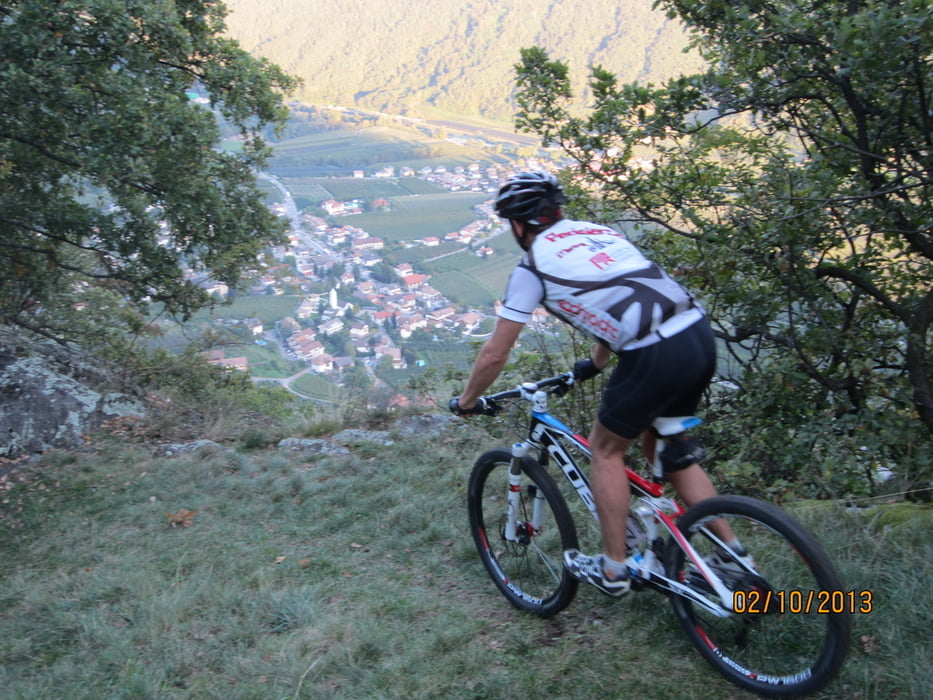
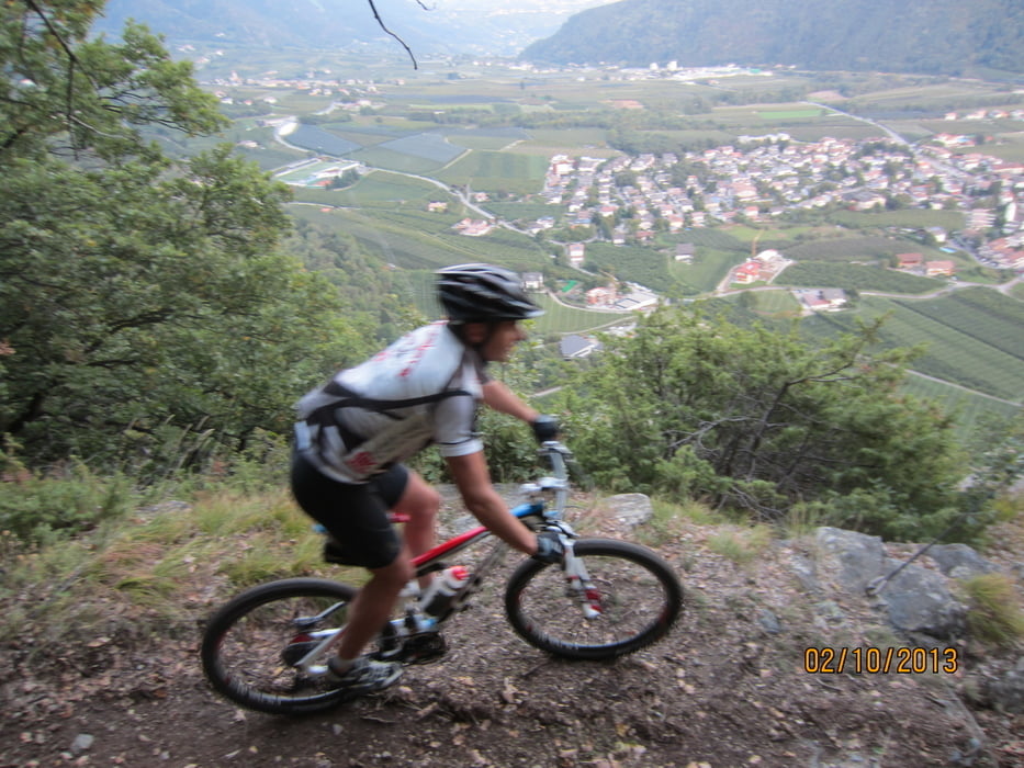
- Schöner Rundblick auf den Vinschgau und das Burggrafenamt.
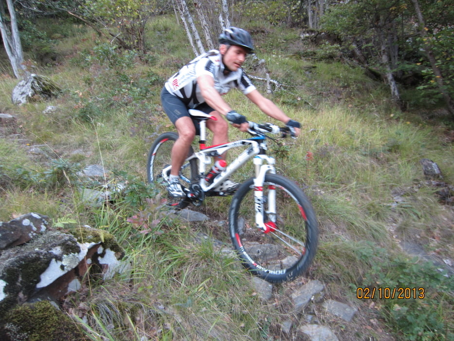
- Abfahrt auf Steig Nr. 26 ist äusserst anspruchsvoll, aber nicht ausgesetzt. Nur für absolute Könner zu empfehlen. (Ich als Tourenfahrer habe nur ca. 30% der Abfahrt im Sattel bewältigt)
- Start/Ziel: Meran/Marling, Marlinger Brücke, grosser öffentlicher Parkplatz neben Hotel Marlingerhof.
NB. Meister Manni`s Kommentar zur Tour: Buabm, Sattel runter bis zum Anschlag und auf geht´s.
Tour gallery

Tour map and elevation profile
Minimum height 273 m
Maximum height 1034 m
More about the tour author
|
|
MargesinFriedrich |
Comments
GPS tracks
Trackpoints-
GPX / Garmin Map Source (gpx) download
-
TCX / Garmin Training Center® (tcx) download
-
CRS / Garmin Training Center® (crs) download
-
Google Earth (kml) download
-
G7ToWin (g7t) download
-
TTQV (trk) download
-
Overlay (ovl) download
-
Fugawi (txt) download
-
Kompass (DAV) Track (tk) download
-
Track data sheet (pdf) download
-
Original file of the author (gpx) download
More about the tour author
|
|
MargesinFriedrich |
Add to my favorites
Remove from my favorites
Edit tags
Open track
My score
Rate
Trail 26 Rabland
Naturns - Sonnenberg
Bin dies Tour letzten Sonntag (27.10.20
13) gefahen; ähh: zu 90 % geschoben. Schäme mich, aber Trail ist komplett unrythmisch. Dagegen ist die famose Downhillabfahrt von Kohler schon fast ein Flowtrail.
Aber Komplimenti wie Du die Touren richtig einschätzt. Aber Du hast ja immer kompetente Mitfahrer dabei.
Lg
Manni