


Bin die Tour nicht ganz so wie abgebildet gefahren sondern habe sie am Laptop teilweise abgeändert um Anstiege bzw Umwege ohne Trailabfahrt zu minimieren.
Insgesamt eher eine kürzere Einfahrtour mit ein paar schönen, recht flüssigen Trails, meist S1- S2.
Da sich die Tour immer wieder kreuzt kann man sie auch beliebig verkürzen.
Ausgangspunkt ist Arco. Man kann anfangs natürlich, anders als hier abgebildet, länger am westlichen Sarca Ufer bleiben und verkürzt so das Radln auf der doch recht befahrenen Straße Richung Drena.
Feedback würd mich freun.
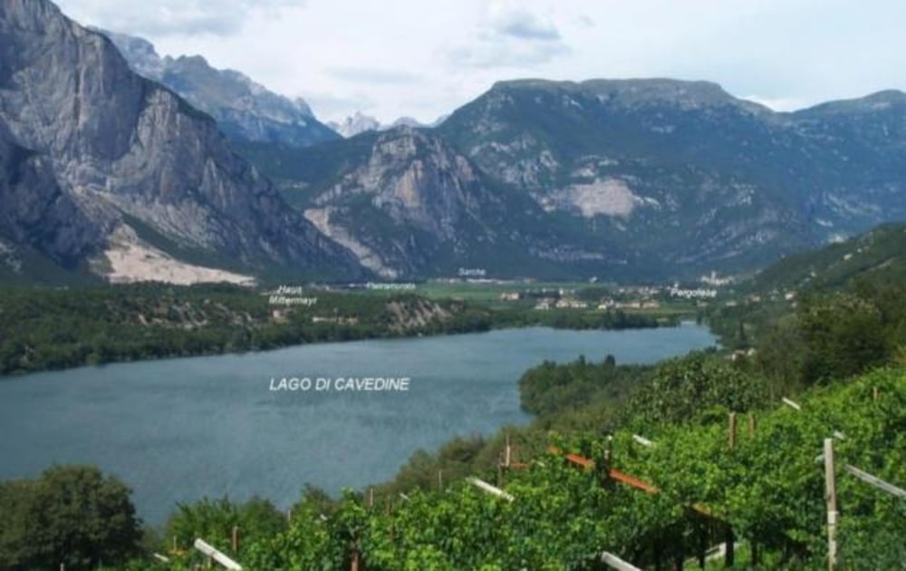
Tour gallery
Tour map and elevation profile
Minimum height 94 m
Maximum height 760 m
More about the tour author

|
topstar82 |
Comments

Ausgangspunkt ist Arco
GPS tracks
Trackpoints-
GPX / Garmin Map Source (gpx) download
-
TCX / Garmin Training Center® (tcx) download
-
CRS / Garmin Training Center® (crs) download
-
Google Earth (kml) download
-
G7ToWin (g7t) download
-
TTQV (trk) download
-
Overlay (ovl) download
-
Fugawi (txt) download
-
Kompass (DAV) Track (tk) download
-
Track data sheet (pdf) download
-
Original file of the author (gpx) download
More about the tour author
|
|
topstar82 |
Add to my favorites
Remove from my favorites
Edit tags
Open track
My score
Rate