Login

Forgotten password?

Cookies have to be accepted!
Your browser's cookie functionality is disabled. Please enable this functionality.

Not a member yet?

Register now
Login

Available for registred users only

Log in to use this feature.

Forgotten password?

Cookies have to be accepted!
Your browser's cookie functionality is disabled. Please enable this functionality.

Not a member yet?

Register now
Filter
Categories
Advanced filters
  • Distance (km)
  • Height
Save filters Reset filter

TrackRank

QRCode

Technical data

Distance57,0 km Height2523 m Way down1382 m Duration06:55 h:m Date13.11.2013
Scores Author Landscape Fun factor Fitness Technique

Statistics

505 Views Scores 66 Downloads Average
Rate
  • Track data sheet
  • Directions
  • Downloads

Wunderbare Kärntner Almdörfertour

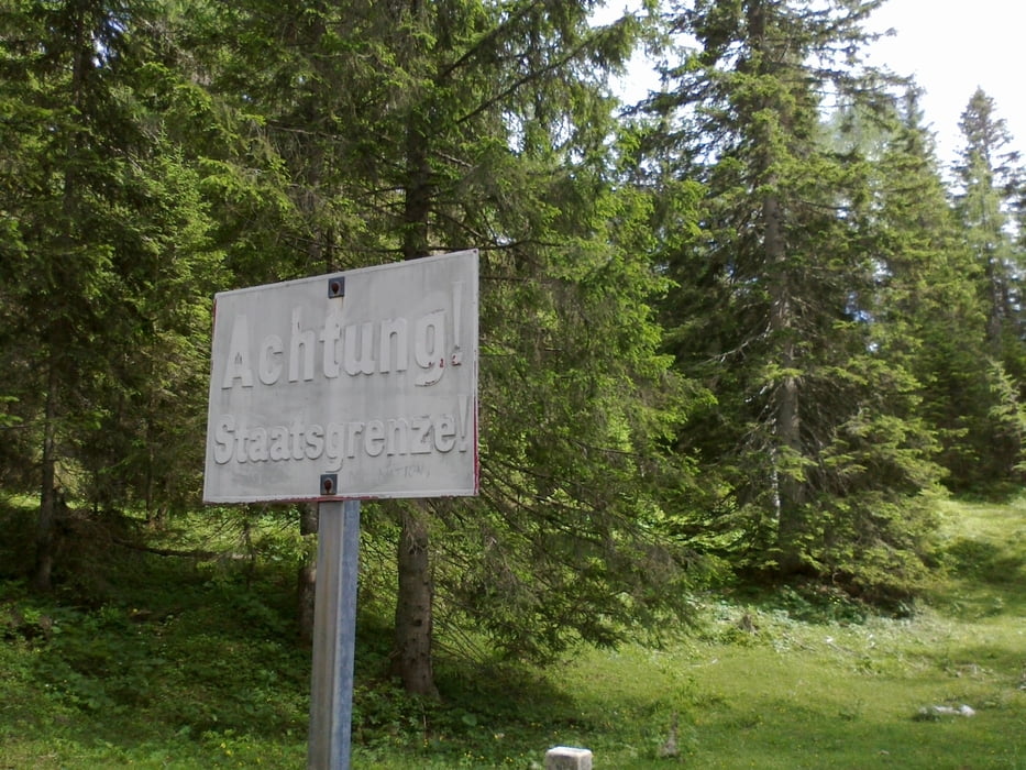
Arnoldstein-Göriacher Alm-Achomitzer Alm-Feisritzer Alm-
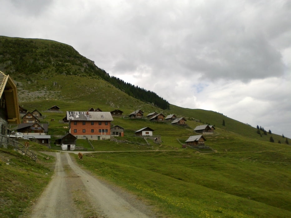
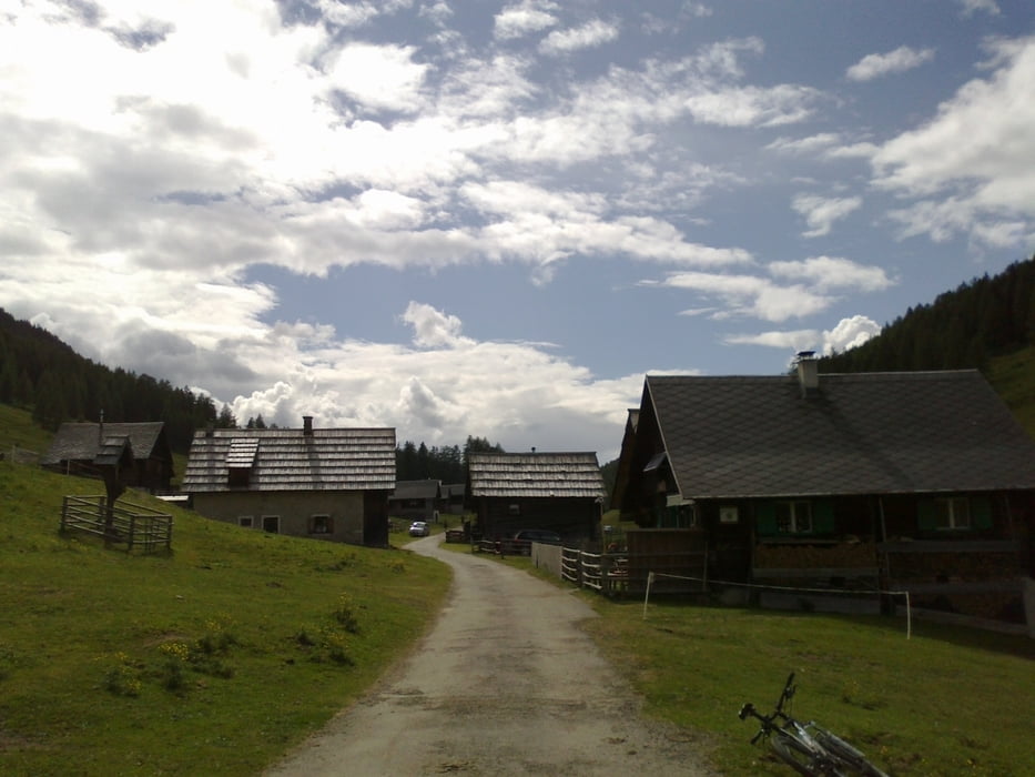
Dellacher Alm-Egger Alm-Garnitzenalm

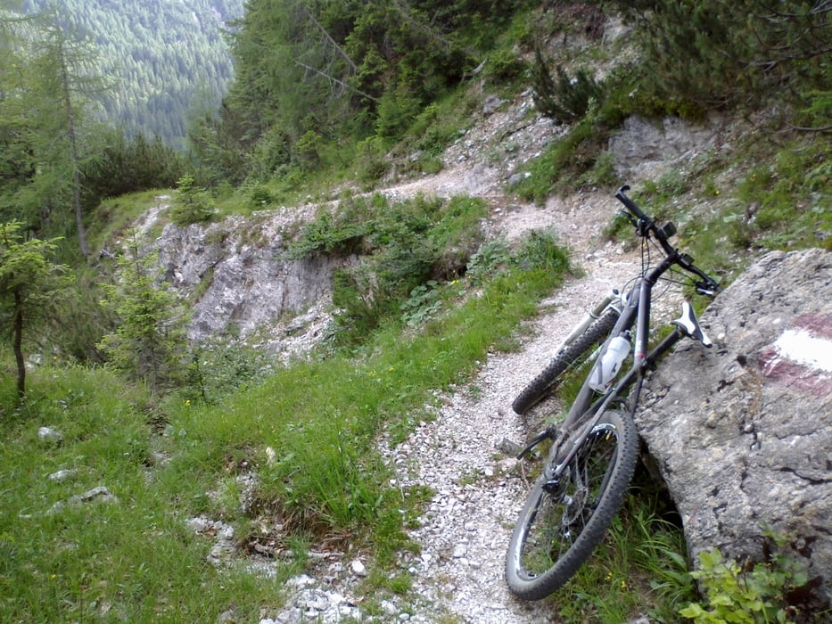
Großartige, abwechslungsreiche Tour! Knackige Anstiege, cruisige
Waldpassagen, heiße Singletrails (tw. schieben und tragen!),
schnelle Abfahrten. Freundliche Menschen getroffen. Zudem
gute, freundliche und günstige Unterkunft auf der Garnitzenalm!


Tour gallery

Tour map and elevation profile

  • Open Street Map
  • Google
Minimum height 581 m Maximum height 1714 m Detailed view

More about the tour author

mitter
Member since 2008

Send private message

Comments

Start in Arnoldstein am Bahnhof.


GPS tracks

Trackpoints
  • GPX / Garmin Map Source (gpx) download
  • TCX / Garmin Training Center® (tcx) download
  • CRS / Garmin Training Center® (crs) download
  • Google Earth (kml) download
  • G7ToWin (g7t) download
  • TTQV (trk) download
  • Overlay (ovl) download
  • Fugawi (txt) download
  • Kompass (DAV) Track (tk) download
  • Track data sheet (pdf) download
  • Original file of the author (gpx) download

More about the tour author

mitter
Member since 2008

Send private message
Share track
Add to my favorites
Remove from my favorites
Edit tags
My score
Rate
Track: Arnoldstein-Garnitzenalm (1. Etappe Ost-West 2013)
Type: Mountain bike
Distance: 57,0 km
Evaluated on:
Duration:
Day(s)
Hour(s)
Minute(s)
Score: Landscape Fun factor Fitness Technique