


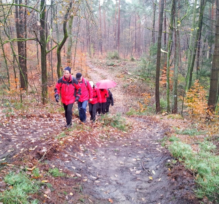
Start dieser Tour ist am Hallenbad in Sennestadt. Zuerst in nördlicher Richtung, über den Senner Hellweg, erreichst Du bald den Hermannsweg, der dich in Richtung Lämmershagen führt. Ab dem Markengrund, unter der Stromleitung, gehst Du wieder nach Sennestadt.
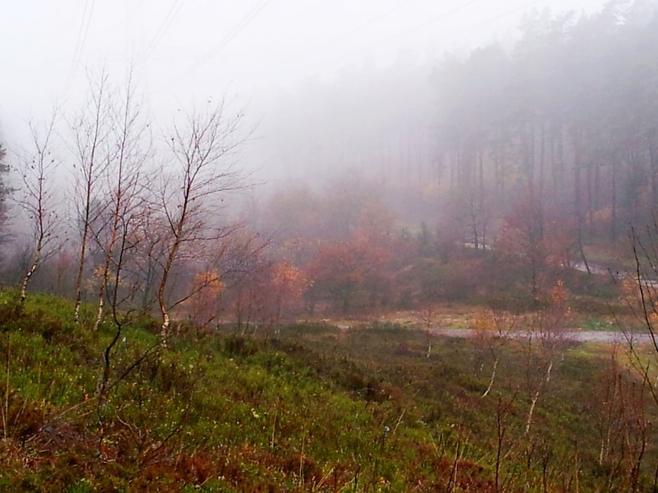
Nach dem Sprungbachteich und der Schutzhütte bist Du in den Sennestädter Dünen.
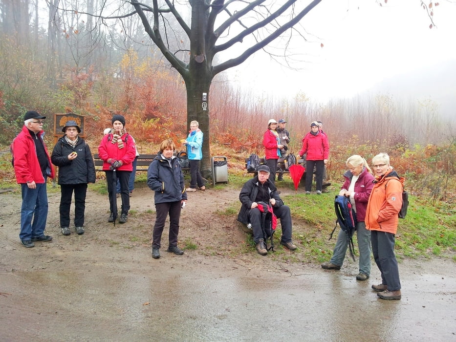
Entlang des Teiches am alten Rathaus, durch den Grüngürtel der Stadt und entlang der Dahlke, bist Du am Ziel und zur Belohnung gibt es leckeren Kuchen im Cafe Wölke.
Tour gallery
Tour map and elevation profile
Minimum height 117 m
Maximum height 249 m
More about the tour author
|
|
radrolle48 |
Comments

GPS tracks
Trackpoints-
GPX / Garmin Map Source (gpx) download
-
TCX / Garmin Training Center® (tcx) download
-
CRS / Garmin Training Center® (crs) download
-
Google Earth (kml) download
-
G7ToWin (g7t) download
-
TTQV (trk) download
-
Overlay (ovl) download
-
Fugawi (txt) download
-
Kompass (DAV) Track (tk) download
-
Track data sheet (pdf) download
-
Original file of the author (gpx) download
More about the tour author
|
|
radrolle48 |
Add to my favorites
Remove from my favorites
Edit tags
Open track
My score
Rate