
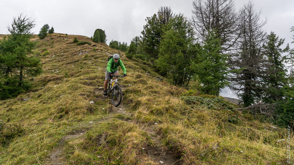

Von Innerkrems gehts los über Forstwege Richtung Blutig Alm. Bei ca, 1860m gehts dann geradeaus weiter und am Ende auf einer Pfadspur zur Matehanshöhe. Nur die Fittesten werden hir im Sattel bleiben :).
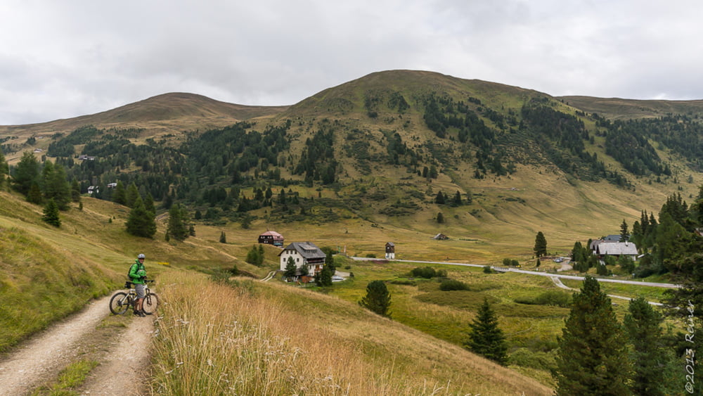
Von der Matehanshöhe geht es dann in ziemlich direkter Linie zur Dr. Josef-Mehrl-Hütte hinab. Den Schlenker zur Greiseneckalm kann man sich auch sparen und an der Liftstüzte weiter den direkten Weg nehmen.
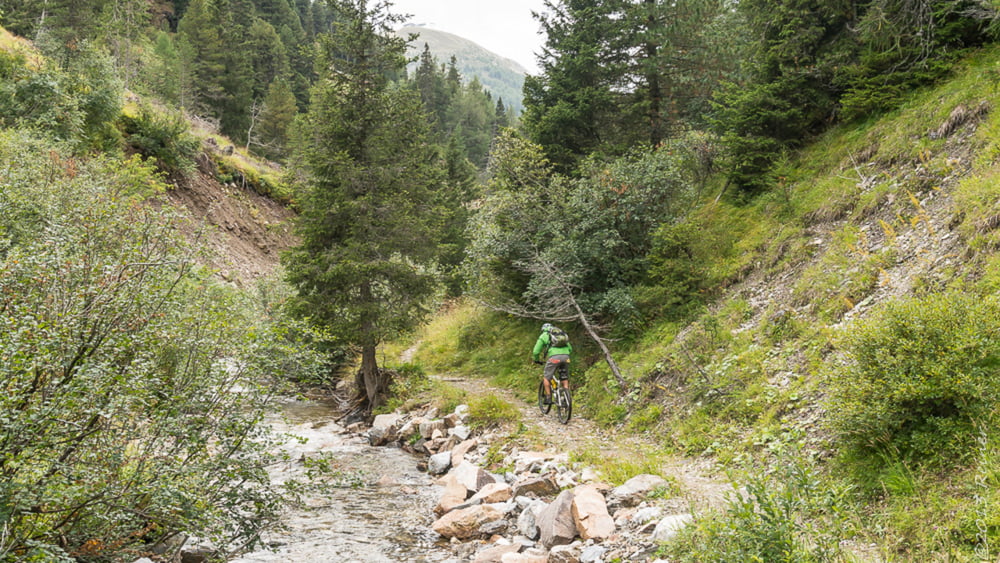
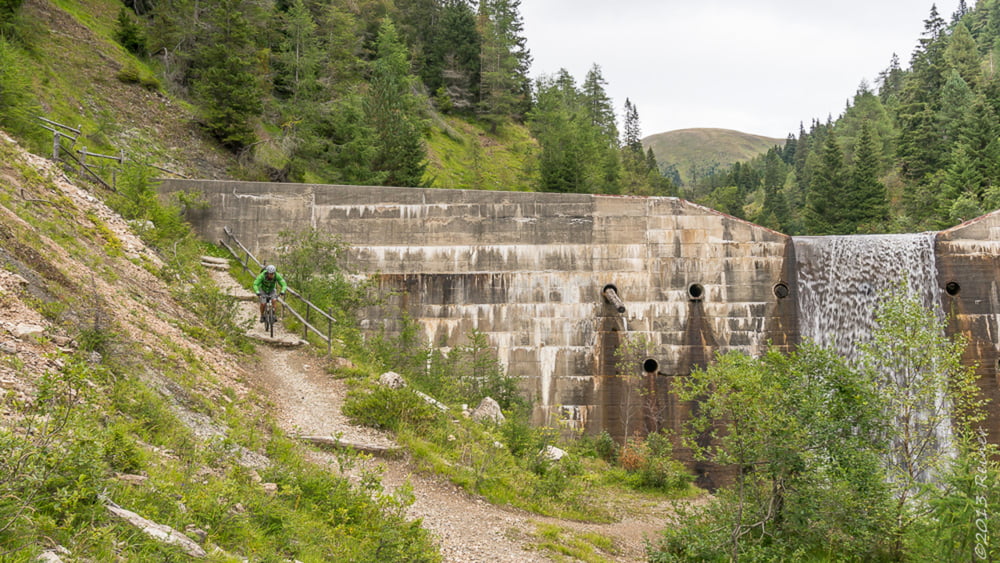
Zurück nach Innerkrems geht es durch die Donnerschlucht schön an einem Bach entlang.
Viel Spaß Reiner
Tour gallery
Tour map and elevation profile
Minimum height 1472 m
Maximum height 2079 m
More about the tour author

|
diax |
Comments

GPS tracks
Trackpoints-
GPX / Garmin Map Source (gpx) download
-
TCX / Garmin Training Center® (tcx) download
-
CRS / Garmin Training Center® (crs) download
-
Google Earth (kml) download
-
G7ToWin (g7t) download
-
TTQV (trk) download
-
Overlay (ovl) download
-
Fugawi (txt) download
-
Kompass (DAV) Track (tk) download
-
Track data sheet (pdf) download
-
Original file of the author (gpx) download
More about the tour author
|
|
diax |
Add to my favorites
Remove from my favorites
Edit tags
Open track
My score
Rate