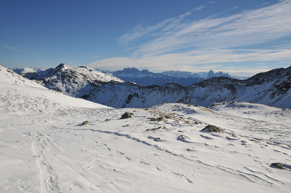
Anspruchsvolle Gipfeltour, die bei ungünstigen Schneebedingungen auch ziemlich anstrengend sein kann. Oberhalb der Waldgrenze bei klarem Wetter beeindruckende Landschaft.
Tour gallery
Tour map and elevation profile
Minimum height 1454 m
Maximum height 2527 m
Comments

Von Vahrn bei Brixen fährt man zunächst nach Schalders. Bei der Kirche fährt man in der Rechtskehre weiter und biegt kurz später links ab und erreicht nach einigen km einen kleinen Parkplatz vor einer Brücke (Steinwend).
GPS tracks
Trackpoints-
GPX / Garmin Map Source (gpx) download
-
TCX / Garmin Training Center® (tcx) download
-
CRS / Garmin Training Center® (crs) download
-
Google Earth (kml) download
-
G7ToWin (g7t) download
-
TTQV (trk) download
-
Overlay (ovl) download
-
Fugawi (txt) download
-
Kompass (DAV) Track (tk) download
-
Track data sheet (pdf) download
-
Original file of the author (gpx) download
Add to my favorites
Remove from my favorites
Edit tags
Open track
My score
Rate


