


Kleine Feierabendrunde bei Schneetreiben.
Vom Parkplatz wanderte ich zuerst bis zu meinem Hotel in dem ich übernachten sollte. Als ich feststellte dass das Haus sehr ordentlich aussah wanderte ich das kleine Strässchen "Am Edelsberg" bergab um dann im Tal an der Wertach entlangzugehen.
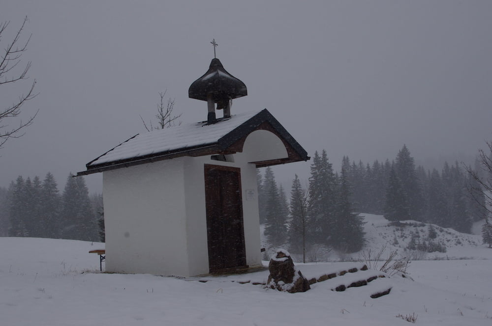
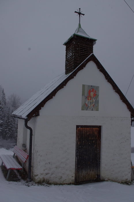
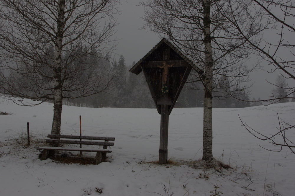
Später folgte ich dem Hotzenweg bergauf zum Hotzenbauer und dann einem netten Wanderweg durch den Schnee zur Alpe Untere Schwande. Zwei Kapellen lagen am Wegesrand.
Der Rückweg verlief auf einem Radweg und tangierte den Parkplatz zum Skilift.
Further information at
https://de.wikipedia.org/wiki/UnterjochTour gallery
Tour map and elevation profile
Minimum height 1022 m
Maximum height 1095 m
More about the tour author
|
|
Pheinz |
Comments

Auf dem Parkplatz bei Untergschwend geht es los.
GPS tracks
Trackpoints-
GPX / Garmin Map Source (gpx) download
-
TCX / Garmin Training Center® (tcx) download
-
CRS / Garmin Training Center® (crs) download
-
Google Earth (kml) download
-
G7ToWin (g7t) download
-
TTQV (trk) download
-
Overlay (ovl) download
-
Fugawi (txt) download
-
Kompass (DAV) Track (tk) download
-
Track data sheet (pdf) download
-
Original file of the author (gpx) download
More about the tour author
|
|
Pheinz |
Add to my favorites
Remove from my favorites
Edit tags
Open track
My score
Rate