

Start ist an der Platja de Palma, es geht immer die Küste entlang mit zwei Abstechern zum Cap Blanc und in die Cala Pi. Dann landeinwärts auf der PMV-5014, 5015 und 6015 nach Llucmajor, dort biegt man aud die MA-19a schnurgerade mit leichtem Gefälle man könnte echt Gas geben wenn da der brutale Gegenwind vom Meer her nicht wäre. kurz vor´m Airport nach links Richtung Küste abbiegen.
Viel Spass!
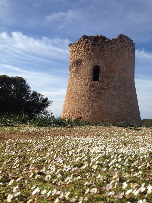
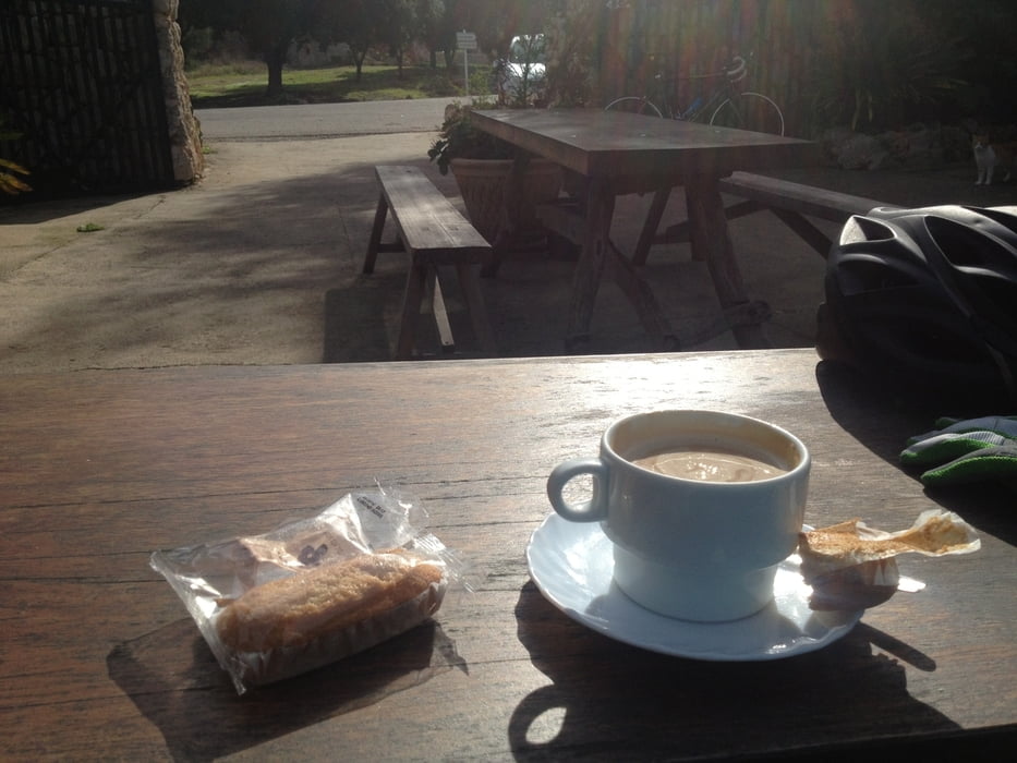
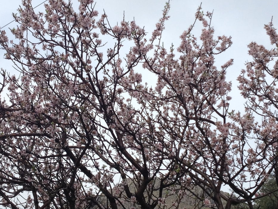
Tour gallery


Tour map and elevation profile
Minimum height -4 m
Maximum height 174 m
More about the tour author
|
|
berndhuber |
Comments

Von Palma auf der Ma-19 Abfahrt Platja de Palma
GPS tracks
Trackpoints-
GPX / Garmin Map Source (gpx) download
-
TCX / Garmin Training Center® (tcx) download
-
CRS / Garmin Training Center® (crs) download
-
Google Earth (kml) download
-
G7ToWin (g7t) download
-
TTQV (trk) download
-
Overlay (ovl) download
-
Fugawi (txt) download
-
Kompass (DAV) Track (tk) download
-
Track data sheet (pdf) download
-
Original file of the author (gpx) download
More about the tour author
|
|
berndhuber |
Add to my favorites
Remove from my favorites
Edit tags
Open track
My score
Rate