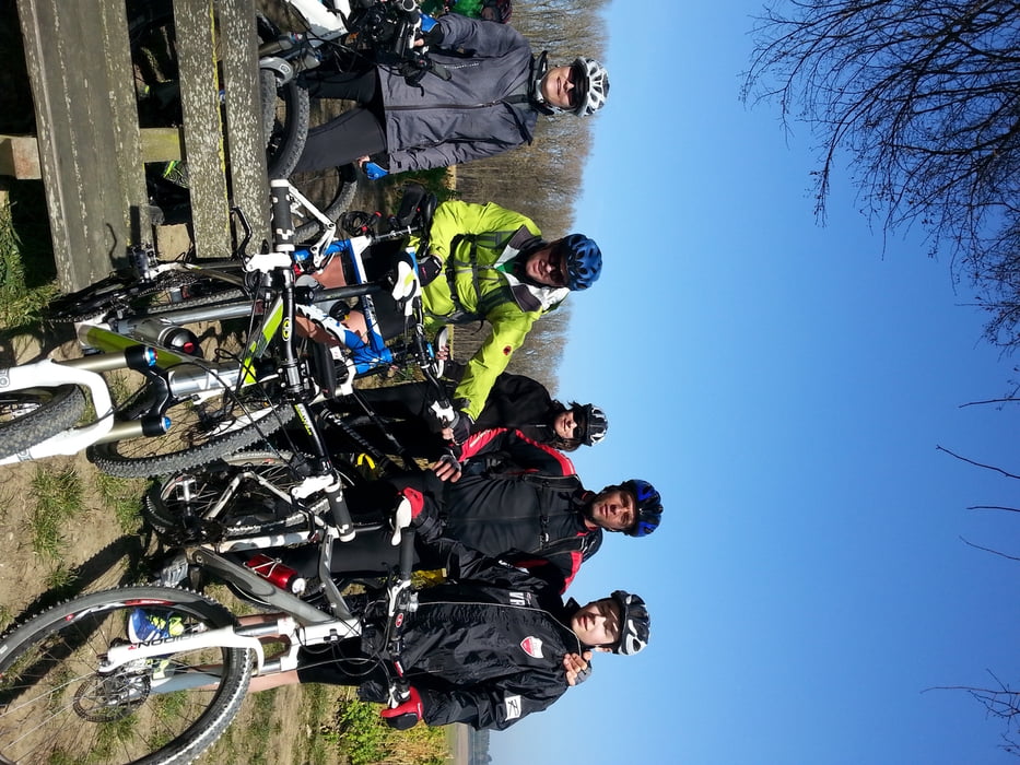
Saisoneröffnung am 09.03.14
mit Stefan, Martina, Valentin, Ronny, Martina, Winnie
Schön aber windig!
Tour gallery
Tour map and elevation profile
Minimum height 404 m
Maximum height 461 m
Comments
GPS tracks
Trackpoints-
GPX / Garmin Map Source (gpx) download
-
TCX / Garmin Training Center® (tcx) download
-
CRS / Garmin Training Center® (crs) download
-
Google Earth (kml) download
-
G7ToWin (g7t) download
-
TTQV (trk) download
-
Overlay (ovl) download
-
Fugawi (txt) download
-
Kompass (DAV) Track (tk) download
-
Track data sheet (pdf) download
-
Original file of the author (gpx) download
Add to my favorites
Remove from my favorites
Edit tags
Open track
My score
Rate


Trails nur an der Amper
Die Trails an der Amper sind spektakulär und auch mit wenig Übung ziemlich gut zu fahren. Durchgängig S0-S1. Doch das Dachauer Hinterland enttäuscht - Schade.
Steffen