Login

Forgotten password?

Cookies have to be accepted!
Your browser's cookie functionality is disabled. Please enable this functionality.

Not a member yet?

Register now
Login

Available for registred users only

Log in to use this feature.

Forgotten password?

Cookies have to be accepted!
Your browser's cookie functionality is disabled. Please enable this functionality.

Not a member yet?

Register now
Filter
Categories
Advanced filters
  • Distance (km)
  • Height
Save filters Reset filter

TrackRank

QRCode

Technical data

Distance34,3 km Height698 m Way down681 m Duration02:30 h:m Date16.03.2014
Scores Author Landscape Fun factor Fitness Technique

Statistics

198 Views Scores 23 Downloads Average
Rate
  • Track data sheet
  • Directions
  • Downloads

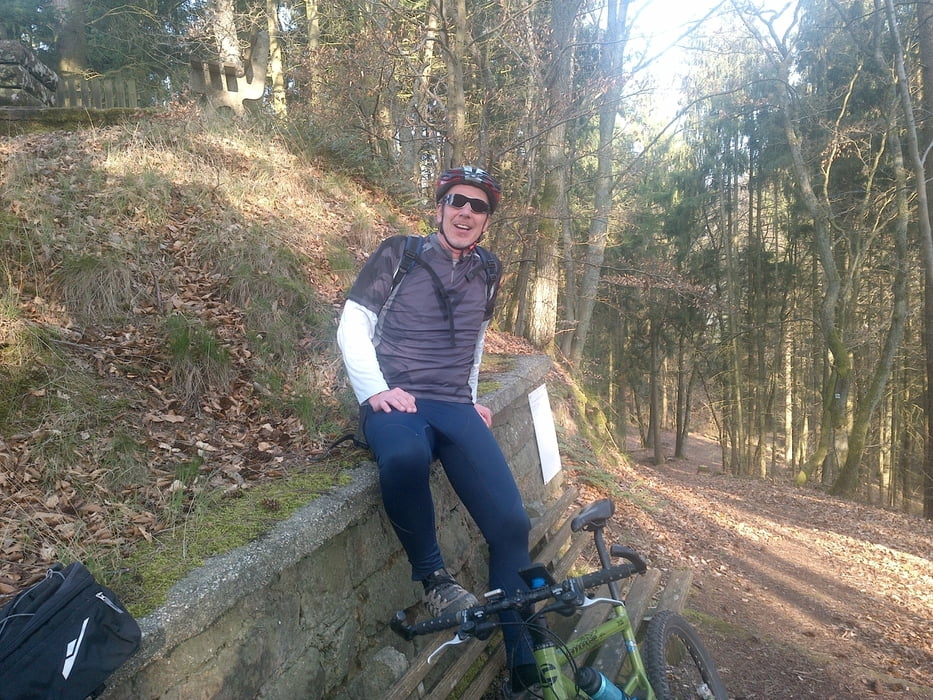
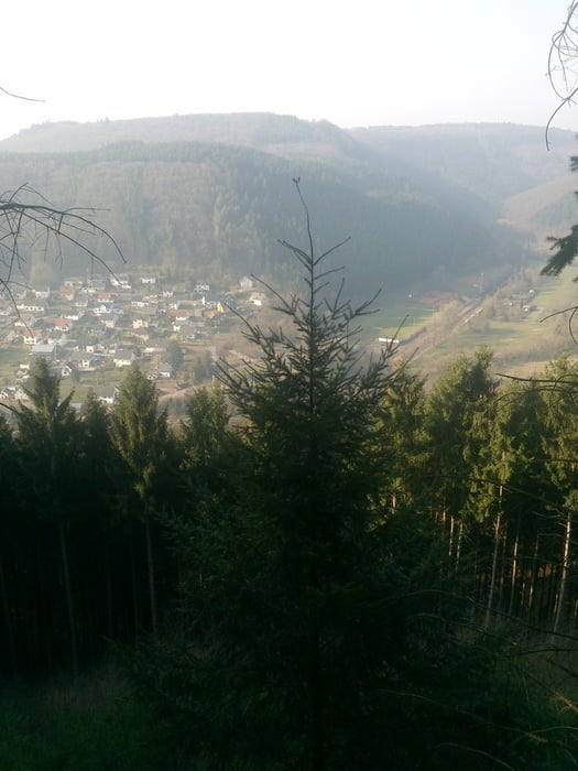
Tolle Tour mit allem was dazu gehört.

Schnelle Waldabfahrten, super Single-Trail von der Hochmark ins Kylltal, Fahrradweg an der Kyll bis nach Daufenbach und dann ein schöner Anstieg durch den Wald von Daufenbach nach Orenhofen.

Tour gallery

Tour map and elevation profile

  • Open Street Map
  • Google
Minimum height 153 m Maximum height 402 m Detailed view

More about the tour author

vancouver95
Member since 2014

Send private message

Comments

GPS tracks

Trackpoints
  • GPX / Garmin Map Source (gpx) download
  • TCX / Garmin Training Center® (tcx) download
  • CRS / Garmin Training Center® (crs) download
  • Google Earth (kml) download
  • G7ToWin (g7t) download
  • TTQV (trk) download
  • Overlay (ovl) download
  • Fugawi (txt) download
  • Kompass (DAV) Track (tk) download
  • Track data sheet (pdf) download
  • Original file of the author (gpx) download

More about the tour author

vancouver95
Member since 2014

Send private message
Share track
Add to my favorites
Remove from my favorites
Edit tags
My score
Rate
Track: 35 km Speicher Hochmark
Type: Mountain bike
Distance: 34,3 km
Evaluated on:
Duration:
Day(s)
Hour(s)
Minute(s)
Score: Landscape Fun factor Fitness Technique