


Profilierte Runde durch den Arnsberger Wald.
Start- und Zielpunkt ist der Parkplatz Aupketal in Neheim.
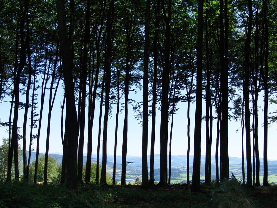
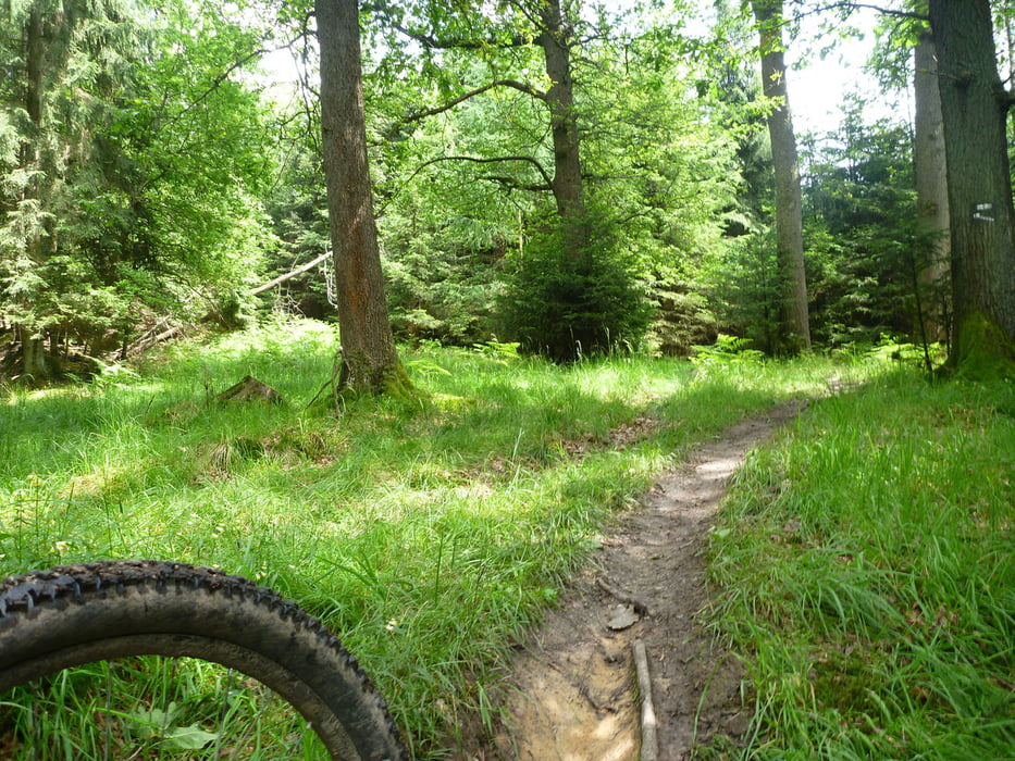
Viel Forstautobahn, häufig unterbrochen durch eher kurze, flowige Trailabschnitte.
Die Tour führt vorbei am Möhnesee, Breitenbruch, Plackweg.
Die Trailabschnitte sind alle recht flowig im Schwierigkeitsgrad S0 bis S1 und damit auch für Einsteiger gut fahrbar.
Empfohlene Fahrtrichtung: im Uhrzeigersinn
Zusammensetzung Wegetypen: 75% Forstautobahn, 25% Trail, fast kein Asphalt
Viel Spaß!
Tour gallery

Tour map and elevation profile
Minimum height 241 m
Maximum height 507 m
More about the tour author
|
|
Jensemann81 |
Comments

A445, Abfahrt 62 (Neheim) in Richtung Möhnesee auf die L745.
Google Maps Suchbegriff: "Neheim, Ernstweg"
Der Wanderparkplatz Aupketal liegt direkt an der Kreuzung L745/Ernstweg
GPS tracks
Trackpoints-
GPX / Garmin Map Source (gpx) download
-
TCX / Garmin Training Center® (tcx) download
-
CRS / Garmin Training Center® (crs) download
-
Google Earth (kml) download
-
G7ToWin (g7t) download
-
TTQV (trk) download
-
Overlay (ovl) download
-
Fugawi (txt) download
-
Kompass (DAV) Track (tk) download
-
Track data sheet (pdf) download
-
Original file of the author (gpx) download
More about the tour author
|
|
Jensemann81 |
Add to my favorites
Remove from my favorites
Edit tags
Open track
My score
Rate