


Start: Refugio del Pilar bei EL Paso
Ende: Los Canarios Haltestelle
Rückfahrt per Fahrgemeinschaft oder Taxi
Traum-Tour die am Anfang von 1440m auf 1935m (Deserda 2)ansteigt und dann beständig bis 722m hinunter führt.
Nach dem Anstieg hat man die Insel praktisch vor sich liegen - fantastisch.
Sehr gut beschildert
Foraussetzung ist, das der Grat frei von Wolken und der Wind nicht zu heftig ist. Genug Getränke mitnehmen.
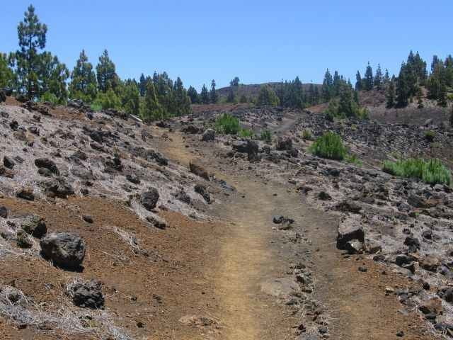
Tour gallery
Tour map and elevation profile
Minimum height 710 m
Maximum height 1934 m
More about the tour author

|
martin999 |
Comments

Von EL Paso > Santa Cruz vor Tunnel rechts > Refugio del Pilar
GPS tracks
Trackpoints-
GPX / Garmin Map Source (gpx) download
-
TCX / Garmin Training Center® (tcx) download
-
CRS / Garmin Training Center® (crs) download
-
Google Earth (kml) download
-
G7ToWin (g7t) download
-
TTQV (trk) download
-
Overlay (ovl) download
-
Fugawi (txt) download
-
Kompass (DAV) Track (tk) download
-
Track data sheet (pdf) download
-
Original file of the author (gpx) download
More about the tour author
|
|
martin999 |
Add to my favorites
Remove from my favorites
Edit tags
Open track
My score
Rate