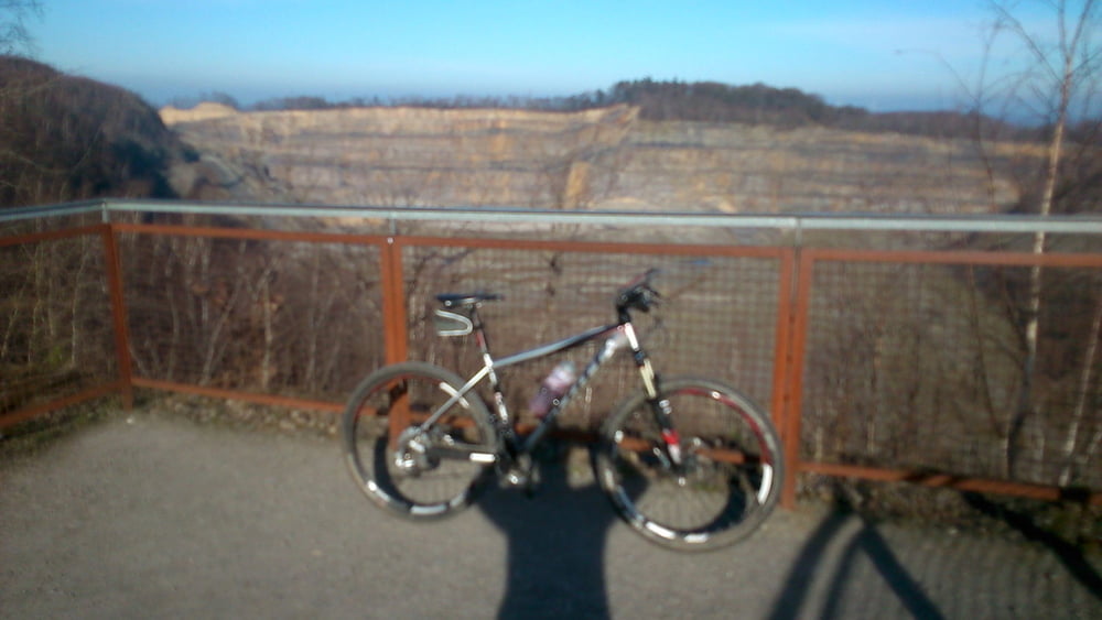
Die Tour führt von Bramsche Über Wallenhorst zu der Windkraftanlage auf dem Piesberg dort schöne Aussicht.Nach steiler Abfahrt geht es durch das Nettetal nach Vehrte von dort geht es über den Venner Berg und die Schleptrupper Egge zurück nach Bramsche
Einkehrmöglichkeiten gibt es bei Knollmayers Mühle im Nettetal und Beim Campingplatz in Kalkriese.
Parken kann man beim Tuchmacher Museum in Bramsche
Viel Spass beim Nachfahren
Tour map and elevation profile
Minimum height 29 m
Maximum height 195 m
Comments

Von der B68 in Bramsche Mitte abfahren Richtung Tuchmacher Museum dort Parken
GPS tracks
Trackpoints-
GPX / Garmin Map Source (gpx) download
-
TCX / Garmin Training Center® (tcx) download
-
CRS / Garmin Training Center® (crs) download
-
Google Earth (kml) download
-
G7ToWin (g7t) download
-
TTQV (trk) download
-
Overlay (ovl) download
-
Fugawi (txt) download
-
Kompass (DAV) Track (tk) download
-
Track data sheet (pdf) download
-
Original file of the author (gpx) download
Add to my favorites
Remove from my favorites
Edit tags
Open track
My score
Rate

