


Ausgedehnte Passagen der Route verlaufen direkt am Seeufer.
Klares Wasser, ruhige Abschnitte laden zum Verweilen ein.
Gut verteilte Rastmöglichkeiten entlang der Strecke sorgen für Verpflegung.
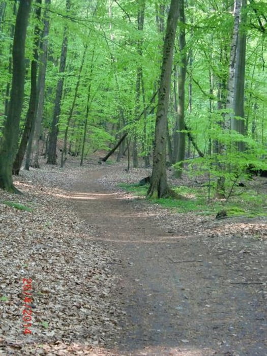
Die Route folgt auf ihrer Westseite nicht dem Berlin-Usedom-Radweg, also direkt an der lauten Sträße, sondern einem schönen Wanderweg durch die angrenzenden Wälder der Schorfheide.
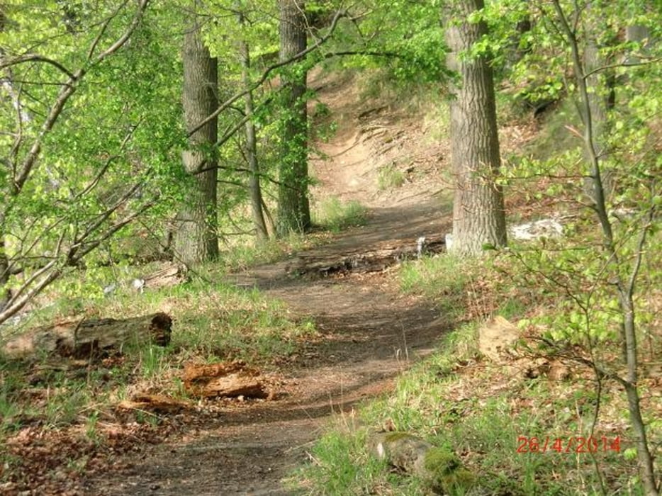
Auf einem ca. 3 km langen nord-östlichem Abschnitt wird der Weg am Steilhang schmal und ein wenig Balance ist gefragt.
Aber selbst dieser Abschnitt ist mit Fahrad, dann kurzzeitig getragen, gut zu bewältigen.
Ein guter Start- und Endpunkt ist Altenhof mit Kfz-Parkmöglichkeiten und einem Busstopp der Verbindung nach Eberswalde.
Tour gallery


Tour map and elevation profile
Minimum height 33 m
Maximum height 81 m
More about the tour author

|
pioax |
Comments

GPS tracks
Trackpoints-
GPX / Garmin Map Source (gpx) download
-
TCX / Garmin Training Center® (tcx) download
-
CRS / Garmin Training Center® (crs) download
-
Google Earth (kml) download
-
G7ToWin (g7t) download
-
TTQV (trk) download
-
Overlay (ovl) download
-
Fugawi (txt) download
-
Kompass (DAV) Track (tk) download
-
Track data sheet (pdf) download
-
Original file of the author (gpx) download
More about the tour author
|
|
pioax |
Add to my favorites
Remove from my favorites
Edit tags
Open track
My score
Rate