


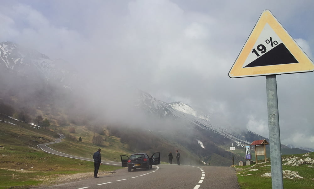
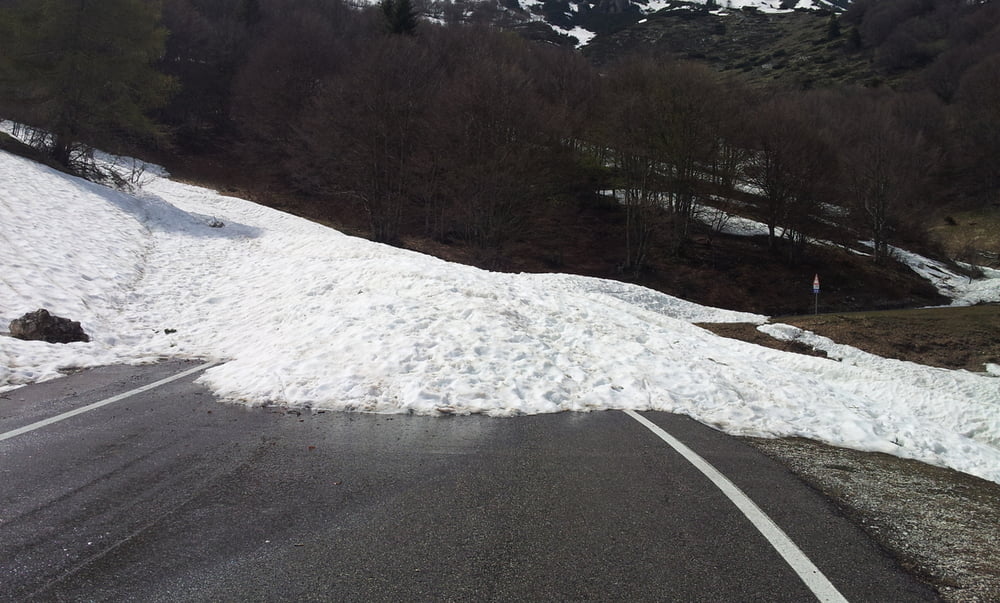
Info vorab: Am 28.04.2014 war der Pass Monte Baldo noch gesperrt. Ich hab das Rad über die Schneeabgänge getragen, was im Nachhinein gesehen nicht zu Empfehlen ist, da es einige waren.
In Mori aufpassen, hier hab ich den Radweg nicht gleich gefunden und das wurde natürlich so aufgezeichnet.
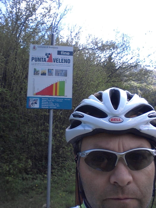
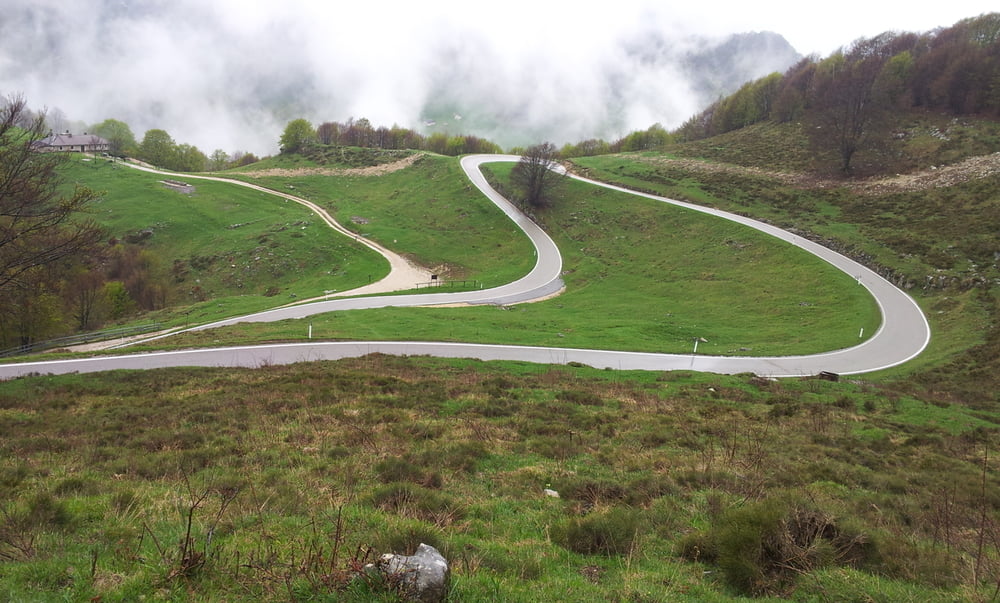
Brenzone-punta veleno sehr lange steilst-und dann hinten über den monte bald-mori und zurück.achtung kann kalt werden da oben.
Link punta veleno:
www.quaeldich.de/paesse/passo-del-telegrafo/
Monte Baldo-Klassische Südaufahrt Caprino Veronese
Tour gallery
Tour map and elevation profile
Minimum height 66 m
Maximum height 1629 m
More about the tour author

|
regtex |
Comments

GPS tracks
Trackpoints-
GPX / Garmin Map Source (gpx) download
-
TCX / Garmin Training Center® (tcx) download
-
CRS / Garmin Training Center® (crs) download
-
Google Earth (kml) download
-
G7ToWin (g7t) download
-
TTQV (trk) download
-
Overlay (ovl) download
-
Fugawi (txt) download
-
Kompass (DAV) Track (tk) download
-
Track data sheet (pdf) download
-
Original file of the author (gpx) download
More about the tour author
|
|
regtex |
Add to my favorites
Remove from my favorites
Edit tags
Open track
My score
Rate