


Von Bad Saarow gehts bis Wendisch Ritz am Ostufer des Scharmützelsees entlang. Dort Schwenk nach Südosten über Ahrensdorf und Görsdorf zum Großen Kossenblatter See. Der liegt zwar idyllisch, hat leider keine Badestelle.
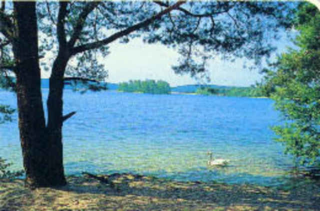
Danach wieder Richtung Westen durch Wälder über Schwenow nach Limsdorf. Dort kann man in einer kleinen Gaststätte günstig einkehren. Von dort sind es nur ca. 1,5 km zum Tiefen See - nach Aussage der Wirtin in Limsdorf der See mit der klarsten Sicht auf den Grund in Deutschland. Egal ob's stimmt oder nicht, der See ist wirklich super!
Auf dem Rückweg nach Norden gibts ein anstrengendes Teilstück bis zum Springsee 8(ca. 2.5 km), weiter über schöne Waldwege zum Glubigsee und von dort zum Scharmützelsee.
Die Tour führt über kaum befahrene Straßen, größtenteils über Radwege und Waldwege bzw. Forststraßen.
Tour gallery
Tour map and elevation profile
Minimum height 34 m
Maximum height 100 m
More about the tour author
|
|
rolandvongilead |
Comments

GPS tracks
Trackpoints-
GPX / Garmin Map Source (gpx) download
-
TCX / Garmin Training Center® (tcx) download
-
CRS / Garmin Training Center® (crs) download
-
Google Earth (kml) download
-
G7ToWin (g7t) download
-
TTQV (trk) download
-
Overlay (ovl) download
-
Fugawi (txt) download
-
Kompass (DAV) Track (tk) download
-
Track data sheet (pdf) download
-
Original file of the author (gpx) download
More about the tour author
|
|
rolandvongilead |
Add to my favorites
Remove from my favorites
Edit tags
Open track
My score
Rate