


Diese Wanderung hat unheimlich Spass gemacht weil sie alles bot was das Herz erfreut. Ebene Teile und schmale Pfade an Felsen und tolle Aussichten.
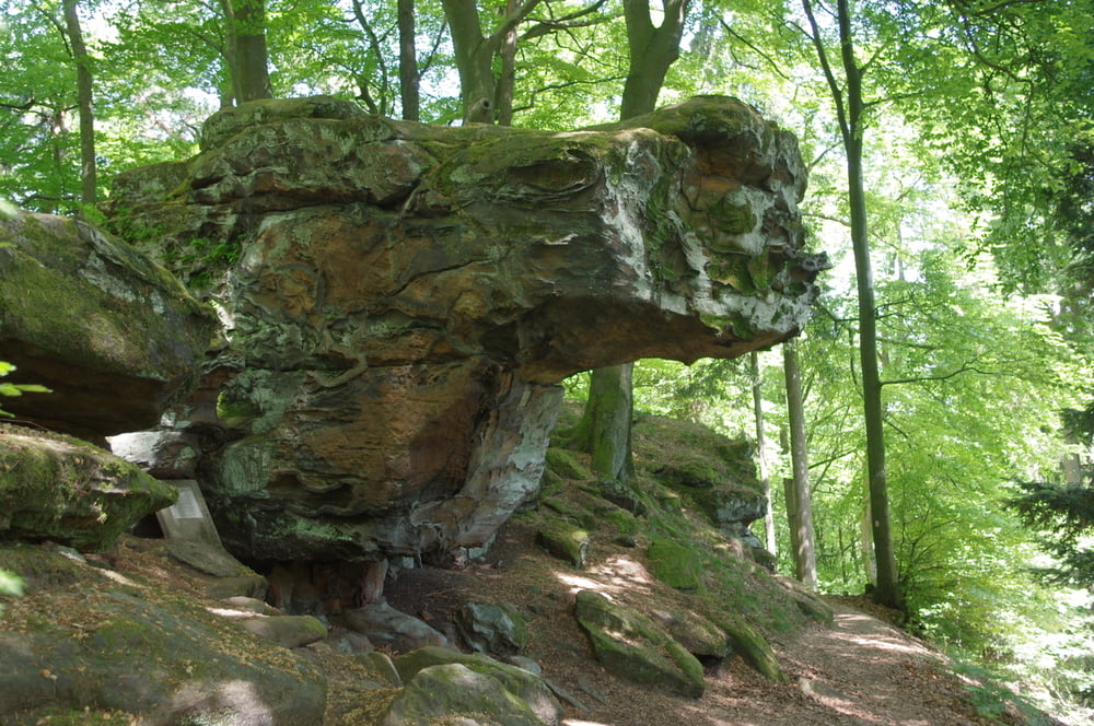
Ich begann in Schwarzenbach und hatte zuerst die Bliestalau mit seinen Störchen um dann in das Taubental zu kommen. Ich hielt mich rechts hoch und bog dann auf den schmalen Pfad des Schmetterlingsweges ein der mich durch dichten Wald an Felsformationen vorbei auf den Hollersteinbrachte.
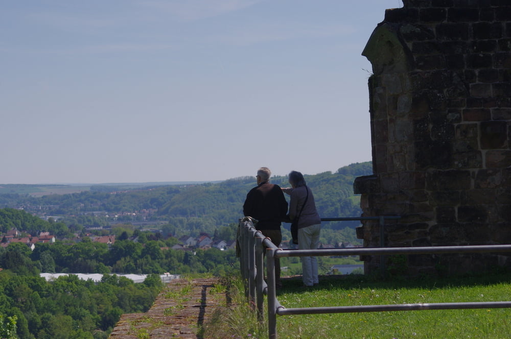
Zeit die Aussicht und ein Pausenbrot zu geniessen. Ein ergonomisch geformte Holzliege hilft dabei ungemein.
Es folgte ein Stück des Felsenpfades an den Kirkeler Kletterfelsen vorbei. Boulderfans tragen hier ihre Matratzen her um sich nicht die Knochen zu doll anzuschlagen wenn das Problem doch zu groß sein sollte.
Den Rückweg nahm ich über die Forstwege zum Kloster Wörschweiler um dann den steilen Pfad in das Tal zu nehmen. Der letzte Rest war dann fast wieder flach wie Holland.
Tolles Wetter und ein toller Weg.
Further information at
http://www.kloster-woerschweiler.de/Tour gallery
Tour map and elevation profile
Minimum height 191 m
Maximum height 388 m
More about the tour author
|
|
Pheinz |
Comments

In Schwarzenbach geht es los.
GPS tracks
Trackpoints-
GPX / Garmin Map Source (gpx) download
-
TCX / Garmin Training Center® (tcx) download
-
CRS / Garmin Training Center® (crs) download
-
Google Earth (kml) download
-
G7ToWin (g7t) download
-
TTQV (trk) download
-
Overlay (ovl) download
-
Fugawi (txt) download
-
Kompass (DAV) Track (tk) download
-
Track data sheet (pdf) download
-
Original file of the author (gpx) download
More about the tour author
|
|
Pheinz |
Add to my favorites
Remove from my favorites
Edit tags
Open track
My score
Rate