


- Start/Ziel: Laas: Parkplatz neben Bar Rosi am Radweg
- Fahrtrichtung: Gegen den Uhrzeigersinn
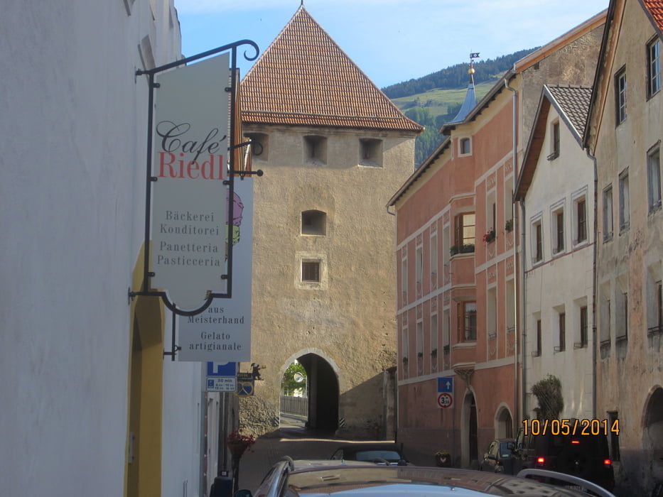
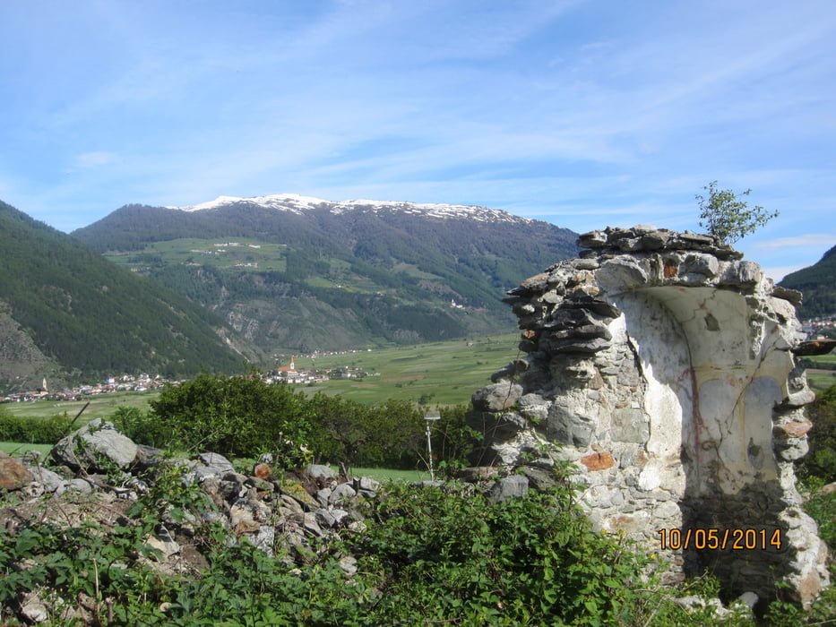
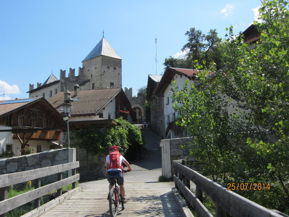
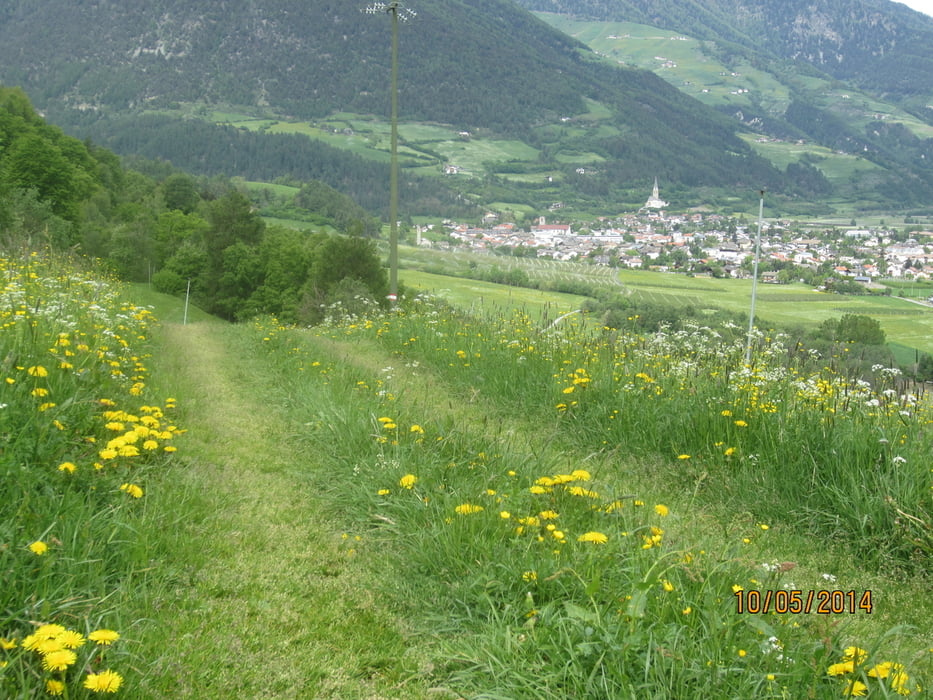
- Schöne Frühjahrstour mit Start in Laas. Einrollen auf dem Vinschgauer Radweg 18 KM. bis Glurns. Frühstück im bekannten Cafe Riedl (hausgemachtes Qualitätsgebäck. Ab Glurns mittelsteiler Aufstieg ca. 120 HM. auf Teerweg bis zur Einfahrt in den Steig Nr. 9, auf welchem wir nach ca. 10 KM. auf gleicher Höhe bleibend, Prad erreichen. Einige kurze Schiebepassagen. Flowig. Nicht ausgesetzt. Von Prad geht es auf Wald u. Wiesenwegen weiter nach Tschengls. Auf der Tschenglsburg gibt es schmackhafte Gerichte, vornehmlich aus einheimischen Produkten hergestellt. Montag Ruhetag. Am Beginn kurzer steiler Anstieg. Bei KM. 30,1 Becken zum Wassertreten.
Tour gallery
Tour map and elevation profile
Minimum height 867 m
Maximum height 1127 m
More about the tour author
|
|
MargesinFriedrich |
Comments

GPS tracks
Trackpoints-
GPX / Garmin Map Source (gpx) download
-
TCX / Garmin Training Center® (tcx) download
-
CRS / Garmin Training Center® (crs) download
-
Google Earth (kml) download
-
G7ToWin (g7t) download
-
TTQV (trk) download
-
Overlay (ovl) download
-
Fugawi (txt) download
-
Kompass (DAV) Track (tk) download
-
Track data sheet (pdf) download
-
Original file of the author (gpx) download
More about the tour author
|
|
MargesinFriedrich |
Add to my favorites
Remove from my favorites
Edit tags
Open track
My score
Rate